November 13, 2017
Adventures in Remote Sensing

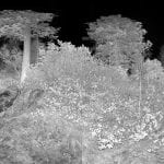
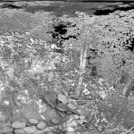
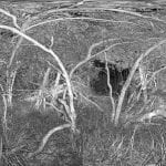
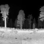
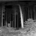
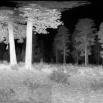
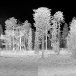
Scanning the trees by the University of Washington School of Forest and Environmental Sciences using Hobbist Lidar units that I built, and over-sized Christmas ornaments mounted on pieces of conduit as targets to tie multiple scans together.
Hello!
This is just the beginning of my Blog. I tend to make a lot of videos and edits using the Terrestrial Lidar, and Drone data that I collect for my PhD research at the University of Washington. Instead of only posting on Facebook and posts getting lost in the midst of all the information within social media sites, I figured I would take a moment and be more intentional about presenting informational posts with the incredibly interesting point cloud data! So here goes nothing and I hope this proves interesting for folks.
-Jonathan