June 20, 2020
RSGAL work on cover of Remote Sensing journal
It has not been long since we said goodbye to Yukio Endo, a MS student visiting RSGAL from Tohoku University, Japan (March 2019-March 2020) as part of Dr. Moskal’s collaboration with Dr. S. Koshimura (also Tohoku University) on remote sensing usage for natural hazards through the 2019 M9 Stakeholders Workshop at UW sponsored by National Science Foundation funded Hazard SEES project. Shortly after graduating Yukio has started working at a Japanese company (Synspective) as a SAR application Engineer. Meanwhile, the project he worked on closely with Dr. Halabisky in RSGAL has been accepted for publication and has just landed the cover of the Remote Sensing journal.
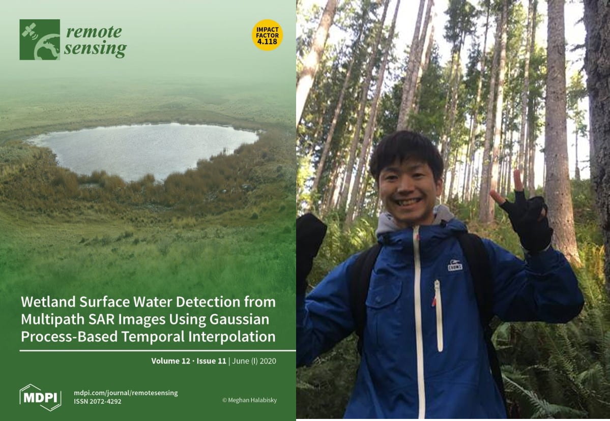
Endo, Y., M. Halabisky, L. M. Moskal, S. Koshimura, 2020. Wetland Surface Water Detection from Multipath SAR Images Using Gaussian Process-based Temporal Interpolation. Special Issue on Advances in Remote Sensing for Disaster Research: Methodologies and Applications in Remote Sensing, 12(11). 10.3390/rs12111756
Synopsis: Wetland ecosystem services, such as water storage and food sources, are largely dependent on hydrological dynamics. Constant monitoring of the spatial extent of water surfaces and the duration of flooding of a wetland is necessary to understand the impact of drought on the ecosystem services a wetland provides. Synthetic aperture radar (SAR) has the potential to reveal wetland dynamics. This paper proposes a Gaussian process-based temporal interpolation (GPTI) method that enables the synergistic use of SAR images taken from multiple paths. The proposed model is applied to a series of Sentinel-1 images capturing wetlands in Washington State, USA. Our experimental analysis demonstrates that the multiple path analysis based on the proposed method can extract seasonal changes more accurately than a single path analysis.