May 26, 2020
Forecast: May 26th, 2020
By Matthew Charchenko
Good Morning Huskies!
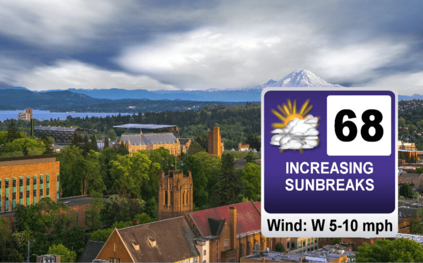
Our Tuesday morning is starting off on a cool and gloomy note with temperatures around the sound currently hanging out in the mid 50s. Yesterday’s weather system will continue to move out of the region today making way for some perfect late spring weather across Western Washington this week. Morning clouds will start to burn off this afternoon, allowing for some sunbreaks that will warm us up into the upper 60s later today.
A large ridge of high pressure will start to build over the west coast tomorrow, steering any storm systems off to our north, leaving us with sunny skies and temperatures in the mid to upper 70s.
That ridge of high pressure will peak on Thursday. High temperatures in Seattle will likely stay just below 80 degrees, but locations on the eastside and south sound should exceed 80 degrees.

In typical northwest fashion, that area of high pressure looks to shift eastward by Saturday, opening the door to some cooler and showery weather for the weekend.
Enjoy the sunshine!
Reach forecaster Matthew Charchenko at theuwdawgcast@uw.edu. Twitter: @mcharchenko.
| 7-Day Forecast | Geopotential Height |
 |
 |
