October 7, 2020
Forecast: October 7th, 2020
By Calen Randall
Hey Huskies!
Get ready for a weather transition. The steadfast ridge of high pressure bringing us foggy mornings and sunny afternoons is on its way out. In its wake, a trough will swoop in and bring widespread rain and even some high elevation snow to western Washington this weekend.

As the fog clears today (it might take longer than yesterday for skies to clear in Seattle), we should see one more afternoon of warm clear weather. If skies clear as expected, anticipate high temperatures approaching 70 degrees, pleasantly warm for October 7th. If the fog persists, temperatures could be capped in the mid 60s. This evening, high clouds will arrive over Seattle, leading to slightly warmer overnight temperatures in the upper 50s. Despite showers tomorrow and Friday, the highs are still expected to reach the upper 60s.

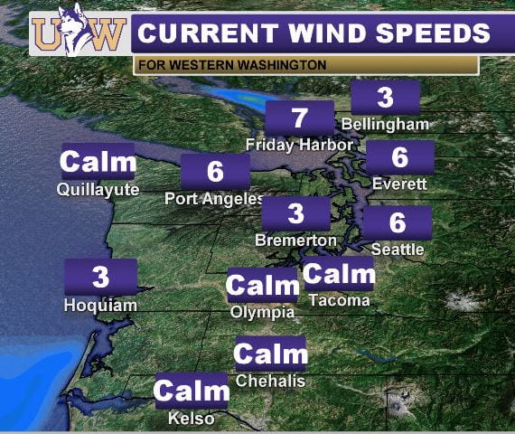
If you step outside, you may notice the trees are quite still. Very weak winds (part of why fog covers current the surface) will persist through the day. As we transition to wetter weather, expect the wind to pick up with cool marine breezes.
Seattle should see some rain on both Saturday and Sunday, with fronts passing through the region. Early model estimates project between a half inch to an inch of rain could fall in Seattle this weekend, but be sure to check the forecast as we approach the weekend. Expect cooler weather during the trough with highs in the low 60s and lows in the upper 40s.
Have a great week!
Reach forecaster Calen Randall at theuwdawgcast@uw.edu. Twitter: @Wx19Calen
| PACIFIC NORTHWEST SATELLITE | TODAY’S FORECAST |
|
|
