October 19, 2020
Forecast: October 19th, 2020
By Matthew Charchenko
Happy Monday Huskies!
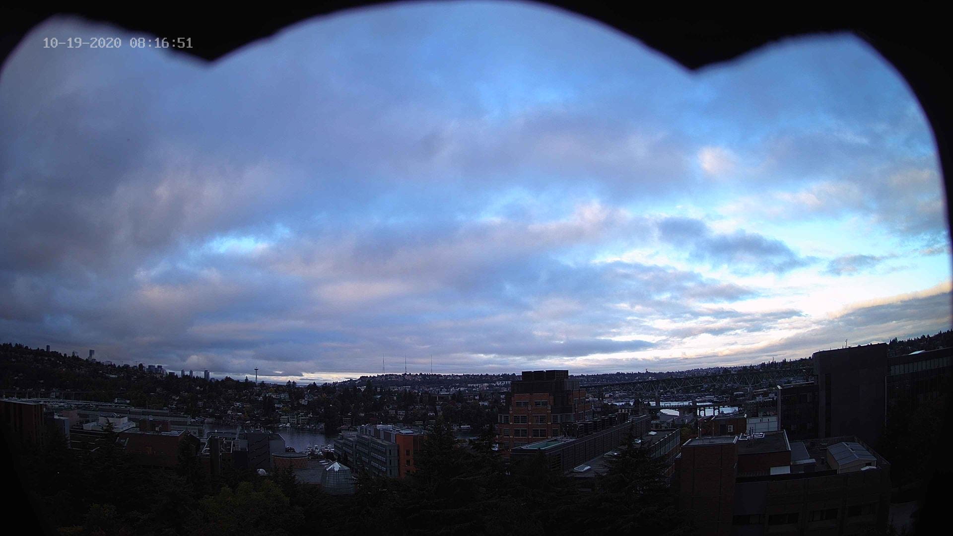
Most of us in Western Washington are waking up to a mixture of clouds and sunbreaks this morning. Check out this beautiful view from our webcam atop the atmospheric sciences building!
There are currently a few patchy areas of drizzle around Everett and Marysville thanks to a weak convergence zone that is trying to stick with us after yesterdays disturbance. That convergence zone will try and hold on through the rest of the day, so expect a chance of some drizzle of light rain from Seattle to Everett, but most of us should have a mainly dry Monday.

We’ll hang on to a chance of a spotty shower early Tuesday morning, but for the most part Tuesday looks to stay dry with mostly cloudy skies. Another weak storm system makes it way into Western Washington Tuesday night into Wednesday morning, although precipitation impacts will be limited. By Wednesday evening most of that precipitation will have tapered off, leaving us with some cooler, but sunny weather for Thursday.

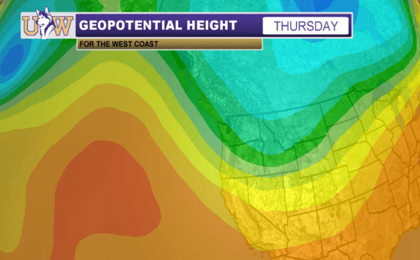
The main weather story this week is that cold air during the second half of the week. Wednesday’s storm system ushers in the coldest air of the year, as a trough digs down into the inner-mountain west. Another storm system will bring a reinforcing shot of cold air and precipitation on Friday. Highs on Friday and into the weekend will be 10-15 degrees below average! So it might be time to break out some of those heavier coats!
Reach forecaster Matthew Charchenko at theuwdawgcast@uw.edu. Twitter: @mcharchenko.
| 7-DAY FORECAST | CURRENT RADAR. |
|
|
