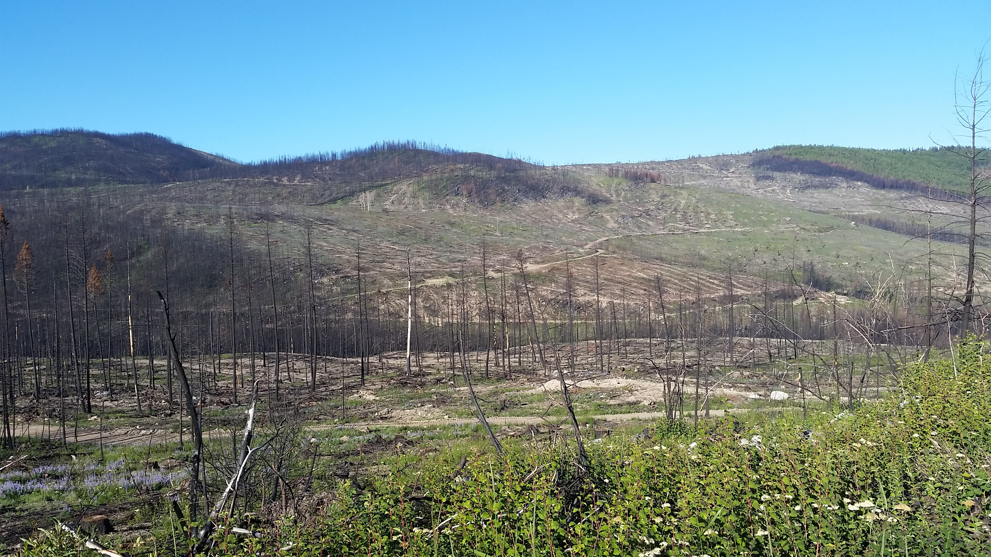
Burn Footprint, Colville National Forest, Washington, Credit: Andrew J. Larson
Conference Presentations
van Wagtendonk, Kane, V.R., KC, P. 2020. Snagging drought-related tree mortality over time with machine learning. American Geophysical Union Fall Conference.
Saberi, S., Kane, V.R. 2020. Exploring drivers of fire-caused forest structural changes using modeling and digital aerial photogrammetry. American Geophysical Union Fall Conference.
Saberi, S., Kane, V.R. 2020 Assessing forest structural changes due to fire using digital aerial photogrammetry in coniferous forests of Eastern Washington State. Ecological Society of America 2020 Annual Conference.
Kane, V.R., Cansler, C., Kane, J.T., Bartle-Geller, B, Povak, N.A., Lutz, J.A., Churchill, D., Hessburg, P.F., Larson, A. 2020. Burn severity, repeat fires, and forest management interact to influence forest structure in northeastern Washington, USA. Ecological Society of America 2020 Annual Conference.
Griffey, V., Morton, D.C., Lagomasino, D., Fatoyinbo, T., Cook, B. 2019. Evaluating threshold responses to hurricane wind sppeds in mangrove forests across Puerto Rico and southwest Florida. 2019 American Geophysical Union fall conference.
Kane, V.R., Kane, J.T. Larson, A., Churchill, D.J., Povak, N.A., Cansler, C.A., 2019. Invited talk. Integrating the work of wildfires into landscape restoration: Post-fire landscape evaluations. 8th International Fire Ecology and Management Conference. Association for Fire Ecology.
Kane, V.R., Prichard, S. 2019. Invited talk. An evaluation of landscape-scale fire-induced change in Washington state, USA. Forest fire severity patterns and trends: implications for ecosystem trajectories in North America symposium at the 12th North American Forest Ecology Workshop.
Kane, V.R., Kane, J.T. Larson, A., Churchill, D.J., Povak, N.A., Cansler, C.A., 2019. Invited talk. Are wildfires recreating fire resilient forest structures at landscape-scales in northeastern Washington state? US Regional Association of the International Association for Landscape Ecology Annual Conference.
Kane, V.R., Blomdahl, E.M., Lutz, J.A., Kane, J.T., Asner, G. 2018 Fisher & spotted owl habitat from airborne lidar data. 2018 Sequoia-Kings Canyon Science Symposium.
Kane, V.R., Kane, J.T., Strunk, J., Gould, P., Maki, C., Churchill, D., Moskal, L.M. 2018. Photogrammetrically Derived Forest Canopy Data to Assess and Monitor Forests Across States. ForestSat 2018.
Bartl-Geller, B., Wiggins, H., Kane, J.T., North, M., Kane, V.R. 2018. Mapping tree clump and opening patterns following fire with airborne lidar data. ForestSAT 2018.
Kane, J.T., Kane, V.R., Jenkins, J., Lesmeister, D., North, M., Asner, G., Moskal, L.M. 2018. Lessons learned identifying wildlife habitat using lidar. ForestSAT 2018.
Kane, V.R., Povak, N.A., Kane, J.T., Collins, B. 2018. Local biophysical patterns interacting with fire weather best explain burn severity patterns in the central Sierra Nevada, California. Association for Fire Ecology and International Association of Wildland Fire Fire Continuum Conference
Kane, V.R. Emerging trends in lidar analysis. 2018. Bureau of Land Management Remote Sensing Update Meeting.
Kane, V.R., Blomdahl, E.M., Lutz, J.A., Kane, J.T., Asner, G. 2018 Fisher & spotted owl habitat from airborne lidar data. 2018 Sequoia-Kings Canyon Science Symposium.
Kane, V.R., Kane, J.T., Strunk, J., Gould, P., Maki, C., Churchill, D., Moskal, L.M. 2018. Photogrammetrically Derived Forest Canopy Data to Assess and Monitor Forests Across States. ForestSat 2018.
Kane, V.R., Povak, N.A., Kane, J.T., Collins, B. 2018. Local biophysical patterns interacting with fire weather best explain burn severity patterns in the central Sierra Nevada, California. Association for Fire Ecology and International Association of Wildland Fire Fire Continuum Conference. Precision Forestry Cooperative lidar projects. 2018. USDA Forest Service Pacific Northwest Research Station Operational Lidar Inventory conference.
Kane, V.R. Predicting Burn Severity Patterns in Yosemite National Park and the Douglas Complex Fires in Oregon. 2017. USDA Forest Service Rocky Mountain Research Station Missoula Fire Sciences Laboratory Seminar Series.
Kane, V.R. LiDAR for habitat assessment. 2017. Western Oregon BLM Silviculture and Wildlife Joint Working Groups Meeting.
Kane, V.R., North, M., Kane, J.T., Churchill, D., Asner, A. 2017. Airborne lidar reveals key characteristics of habitat used by California spotted owls across four large study areas. Silvilaser 2017.
Shoot, C., Kane, V.R., Babcock, C. Jeronimo, S.M., Lutz, J.A., Moskal, L.M. 2017. Airborne LiDAR-derived structure metrics can be used to predict understory presence. Ecological Society of America Annual Conference.
Churchill, D., Larson, A.J., Jeronimo, S.M.A., LeFevre, M.E., Kane, V.R., Carnwath, G.C. 2017. A meta-analysis of historical tree patterns in frequent fire forests of interior Oregon and Washington. Ecological Society of America Annual Conference.
Kane, V.R., North, M.P, Kane, J.T., Churchill, D., Asner, G.P. 2017. California spotted owls select nesting and foraging sites based on tall tree densities. Ecological Society of America Annual Conference.
Jeronimo, S.M.A., Kane, V.R., Churchill, D.J., Franklin, J.F. 2017. Using legacy structure to guide ecological restoration in the Crater Lake Panhandle, Oregon. Ecological Society of America Annual Conference.
Shoot, C., Kane, V.R., Babcock, C. Jeronimo, S.M., Lutz, J.A., Moskal, L.M. 2016. Use of random forest modeling techniques to predict and detect shrub locations under canopy using LiDAR structure and topography metric. ForestSat 2016.
Kane, V.R., McGaughey, R.J., Asner, G.P., Kane, J.T., Churchill, D., Vaughn, N. 2016. Mapping forest structure from tree clump and opening patterns across landscapes with airborne lidar to study response to disturbances and map habitat. American Geophysical Union Fall Conference.
Kane, V.R., Povak, N., Brooks, M., Collins, B., Smith, D., Churchill, D. 2015. Relative influence of top-down and bottom-up controls on mixed severity burn patterns in Yosemite National Park, California, USA. American Geophysical Union Fall Conference.
Jeronimo, S., Kane, V.R., McGaughey, R., Franklin, J.F. 2015. Spatial Patterns of trees from airborne LiDAR using a simple tree segmentation algorithm. American Geophysical Union Fall Conference.
Stravos, E.N., Coen, J., Sign, H., Tane, Z., McGaughey, R., Kane, V.R., Fites, J.A., Oliva, P., Schroeder, W., Schimel, D., Ramirez, C. 2015. High-resolution remote sensing and coupled fire-weather simulation modeling offer unprecedented insight to megafire behavior: The 2014 California King Megafire case study. American Geophysical Union Fall Conference.
Churchill, D, Kane, V.R., Jeronimo, S., Kane, J.T. 2015. Using LiDAR for multi-scale restoration of forest structure and pattern. 9th International Association of Landscape Ecology World Congress.
Shoot, C., Jeronimo, S., Kane, V.R., Moskal, M. 2015. Use of LiDAR to detect shrubs. 86th Annual Meeting of the Northwest Scientific Association.
Kane, V.R., Cansler, C.A., Povak, N.A., Churchill, D., North, M., Smith, D.F., Lutz, J.A. 2014. Biophysical controls on forest structure and fire severity in Yosemite National Park. 99th Ecological Society of America Annual Meeting.
Mushkin, A., Gillespie, A. R., Kane, V.R., Kane, J. 2014. Vegetation mapping with NASA’s Terra/ASTER stereo image. Recent Advances in Quantiative Remote Sensing (RAQRS), Valencia, Spain.
Kane, V.R., Lutz, J.A., McGaughey, R., North, M. 2014. Forests and fires: Insights from LiDAR. Southern Sierra Fire and Hydroclimate Workshop.
Kane, V.R., Kopper, K., Copass, C. 2014. Defining new fuel maps for Mount Rainier National Park from a fusion of field, LiDAR, and environmental data. 85th Annual Meeting of the Northwest Scientific Association.
Kane, V.R., Lutz, J.A., Roberts, S.L., Smith, D.F., McGaughey, R.J., Brooks, M.L. 2012. Fusion of Landsat and airborne LiDAR Data to study landscape-scale effects of fire severity in Yosemite National Park. 5th International Fire Ecology and Management Congress.
Kane, V.R., Lutz, J.A., North, M. 2012. Using LiDAR data to model changes in forest structure from mixed severity fires. Silvilaser 2012 Conference.
Kane, V.R. and Lutz, J.A. 2012. Fusion of Landsat and Airborne LiDAR Data to study landscape-scale effects of fire severity in Yosemite National Park. ForestSat 2012 Conference.
Kane, V.R. and Lutz, J.A. 2012. Restoring natural gap variability: Relationships between forest type, fire severity, and gap size distributions in Yosemite National Park. 97th Ecological Society of America Annual Meeting.
Kane, V.R., McGaughey, R.E., Gersonde, R., Lutz, J.A., Bakker, J.D., and Franklin, J.F. 2009. Using LIDAR for Multi-Scaled assessments of forest structure. 94th Ecological Society of America Annual Meeting.
Kane, V.R. 2009. Calibrating Landsat/ASTER with LiDAR for forest studies. NASA Biodiversity and Ecological Forecasting Team Meeting.
Kane, V.R., McGaughey, R.E., Gersonde, R., Lutz, J.A., Bakker, J.D., and Franklin, J.F. 2009. Characterizing forest structural complexity at multiple scales, Northwest Scientific Association 2009 Annual Conference.
Kane, V.R., McGaughey, R.E., Gersonde, R., and Franklin, J.F. 2007. Using LiDAR metrics to characterize forests structural complexity at multiple scales. American Geophysical Union Fall Conference.
Kane, V.R., Gillespie, A.R., Ceder, K, and Lutz, J. 2006. Spectral unmixing of remotely sensed forest images using an adaptive topographic shade correction algorithm. American Geophysical Union Fall 2006 Conference.
Kane, V.R. and Hoekstra, J. 2006. Mapping the geography of conservation solutions. Society for Conservation Biology 2006 Annual Meeting.
Return to the Forest Resilience Lab