Check out our new publication in the Journal of Geophysical Research: Earth Surface about sediment dynamics in the Ayeyarwardy Delta!: https://doi.org/10.1029/2020JF005882
The Ayeyarwady (Irrawaddy) River is one of the largest fluvial sources of sediment and dissolved elements to the ocean. The river flows down from the Himalayan Plateau through Myanmar (Burma). Due to Myanmar’s political isolation, the river and delta were largely inaccessible to the global scientific community until recently. The river is also significantly less developed, with fewer dams, than nearby Southeast Asian rivers (e.g., the Mekong River in Vietnam). Consequently, the delta and estuary of the Ayeyarwady River are natural laboratories where morphology can be directly related to fluvial and marine processes, providing insight into deltaic sediment dynamics.
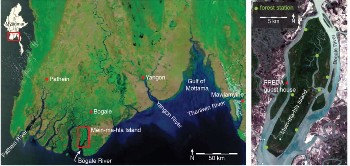
Map of the Ayeyarwady Delta with the three distributaries. We have been working in the mangrove preserve on Mein-ma-hla Island in the Bogale River.
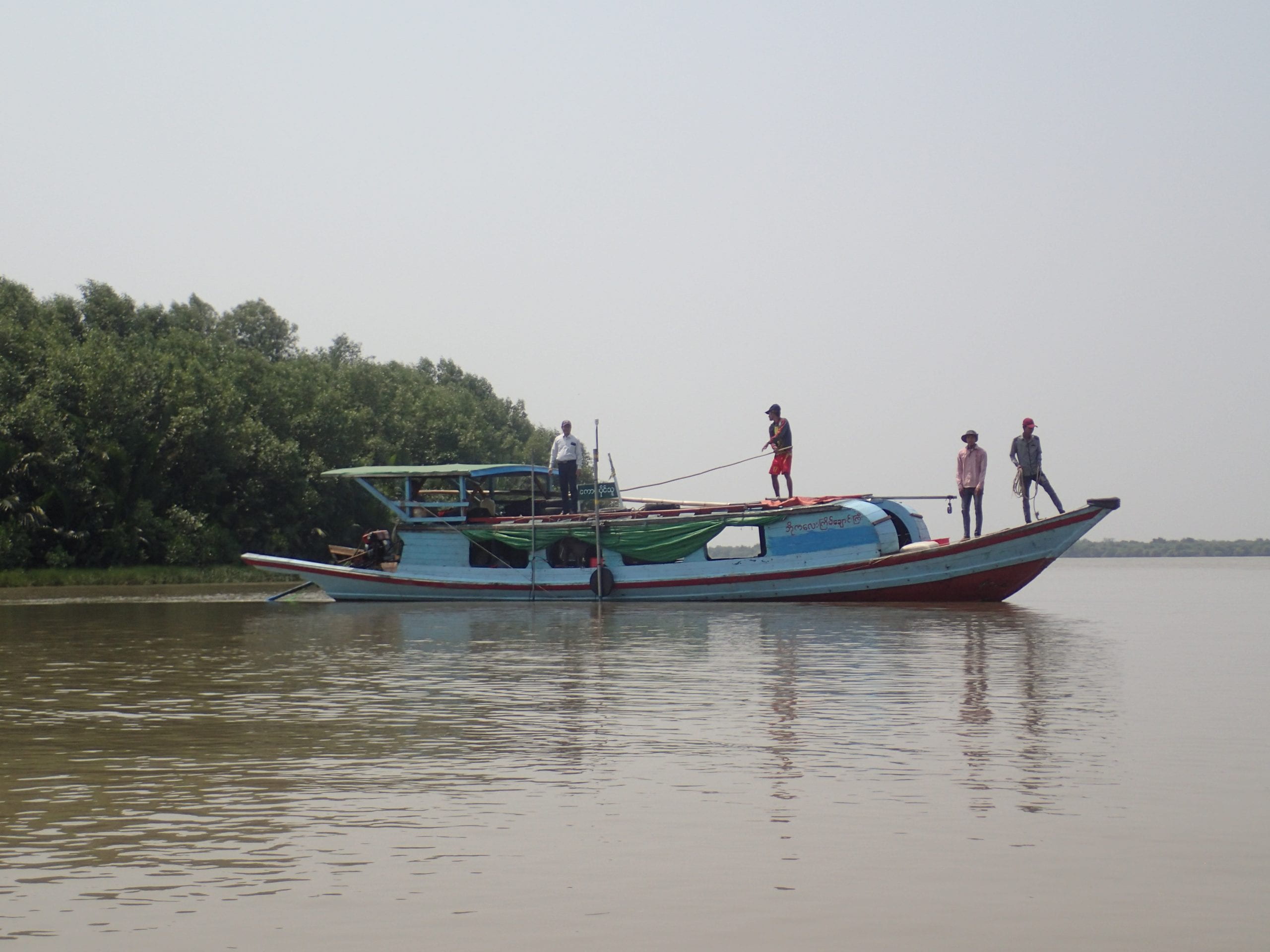
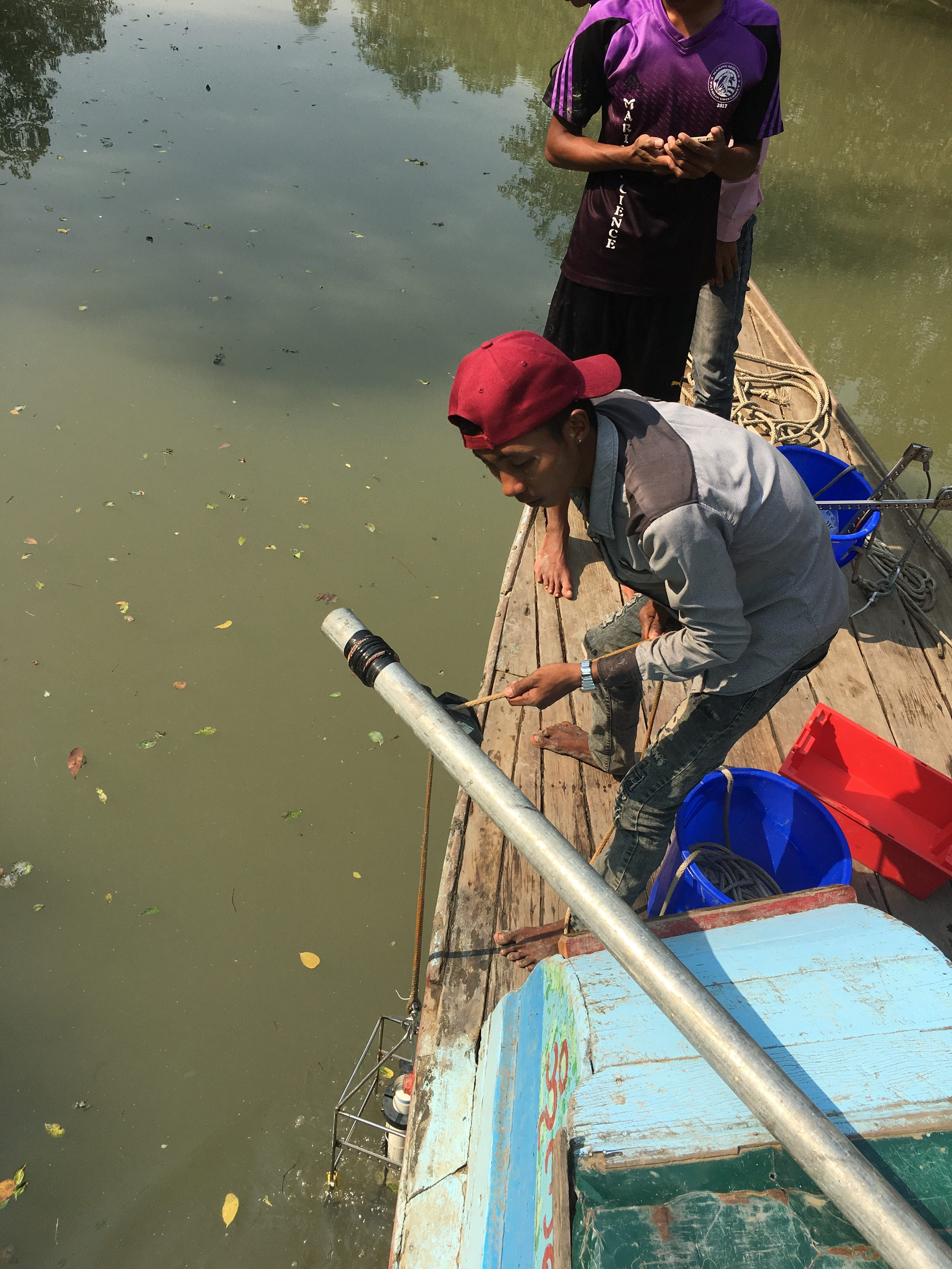
We are investigating three distributaries of the Ayeyarwady: the Pathein, the Bogale, and the Yangon Rivers in the west, central, and eastern region of the delta respectively. These rivers experience differences in discharge, tides, and waves, resulting in different morphologies. In each river distributary we measure flow over tidal cycles, collect water samples, and collect sediment cores from the river bed and banks. We have also deployed long term sensors to collect data between sampling trips. We are making use of connections with remote sensing experts to gain spatial and temporal coverage of the region.
We are collaborating with colleagues at Pathein and Myanmar Maritime Universities, who were here for a scientific visit in May. Our colleagues and students have been extremely helpful in making some of the first observations of the active sedimentary processes in the Ayeyarwady Delta.
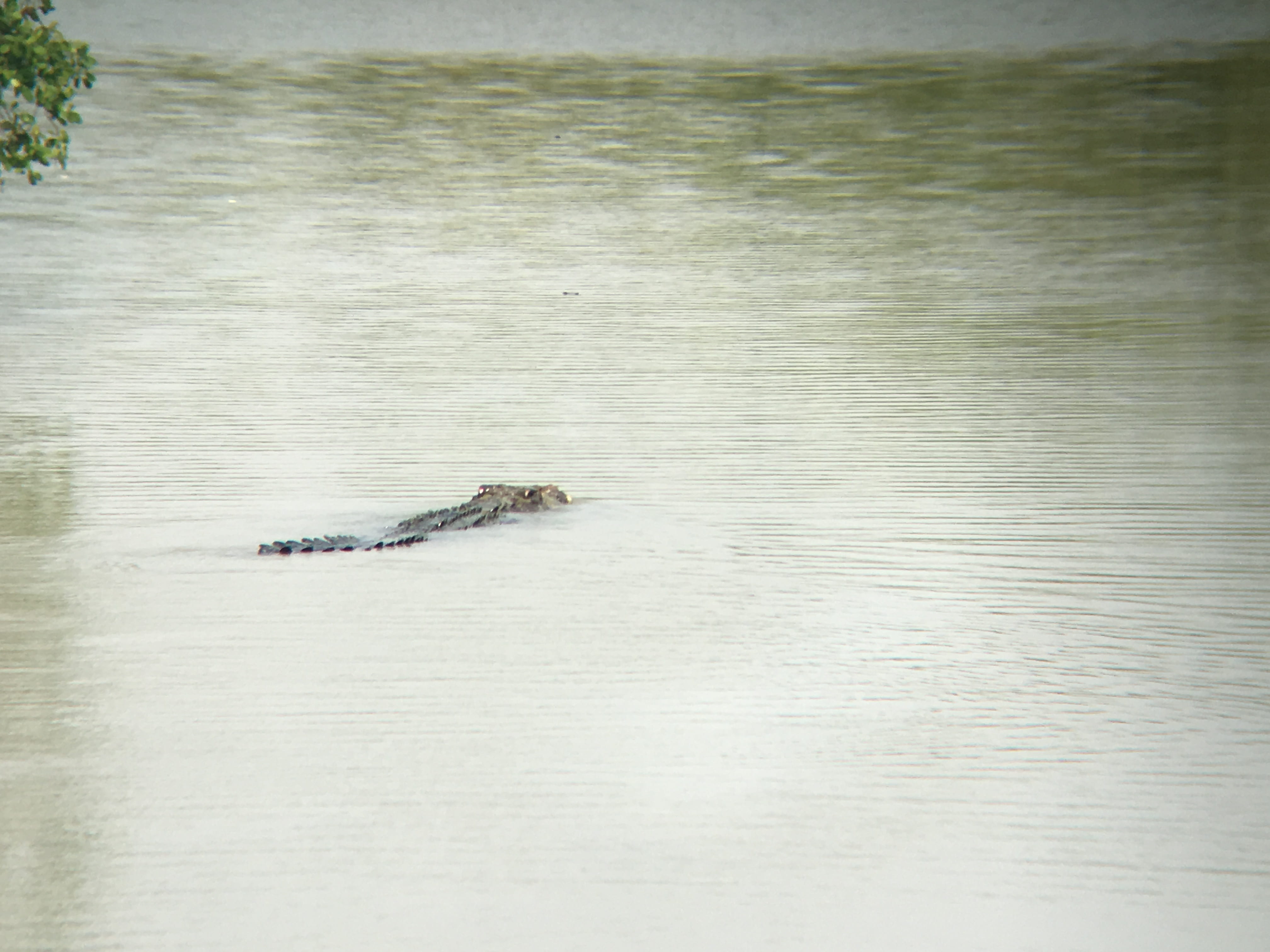
A 6-m saltwater crocodile reminds us why we minimize the amount of time we spend in the water near Meinmahla Island.
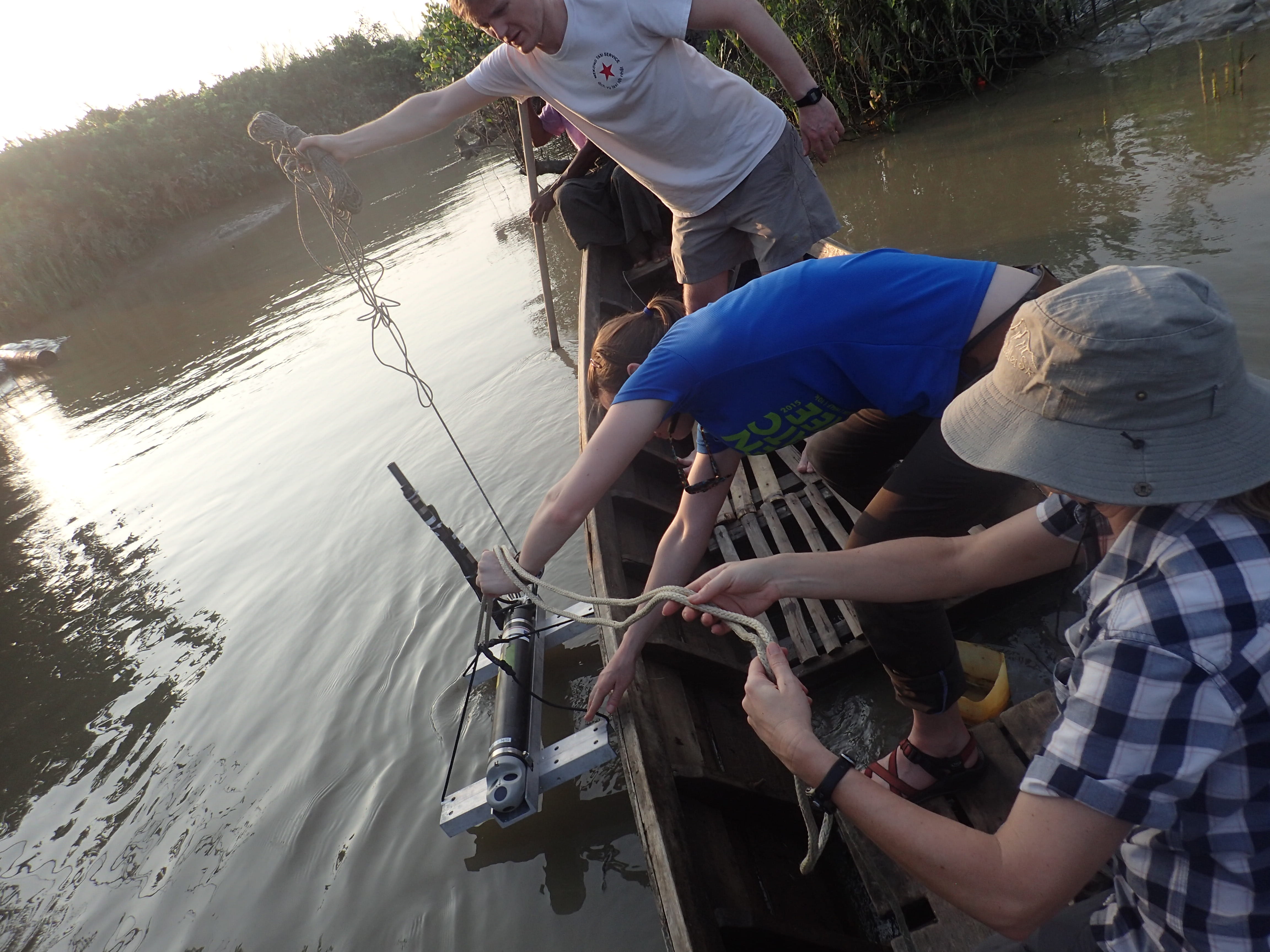
The CTD comes back on deck.
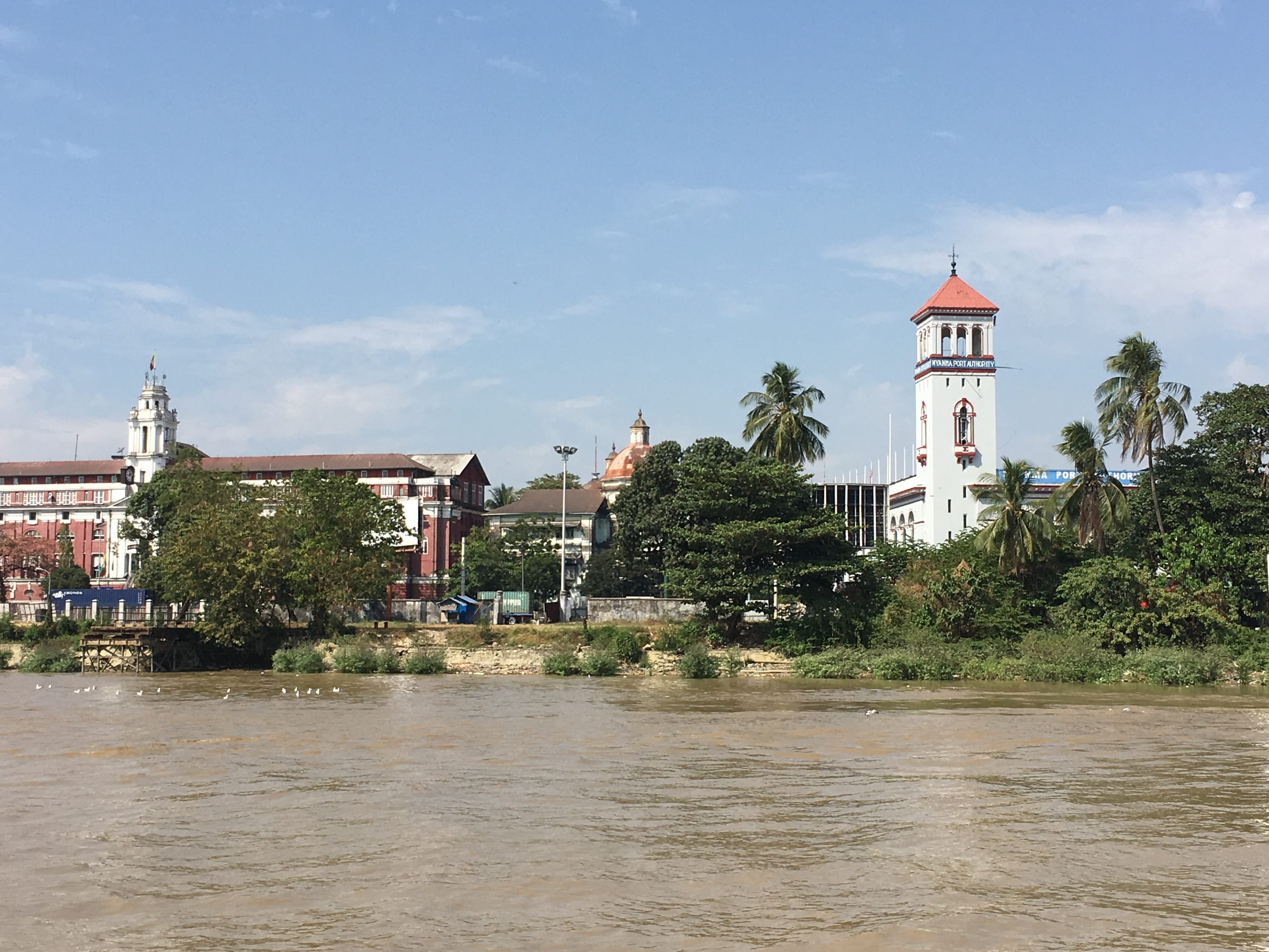
Some of the colonial architecture in downtown Yangon.
An improvised towed ADCP platform on the Yangon River (thwarted by VERY high SSC).
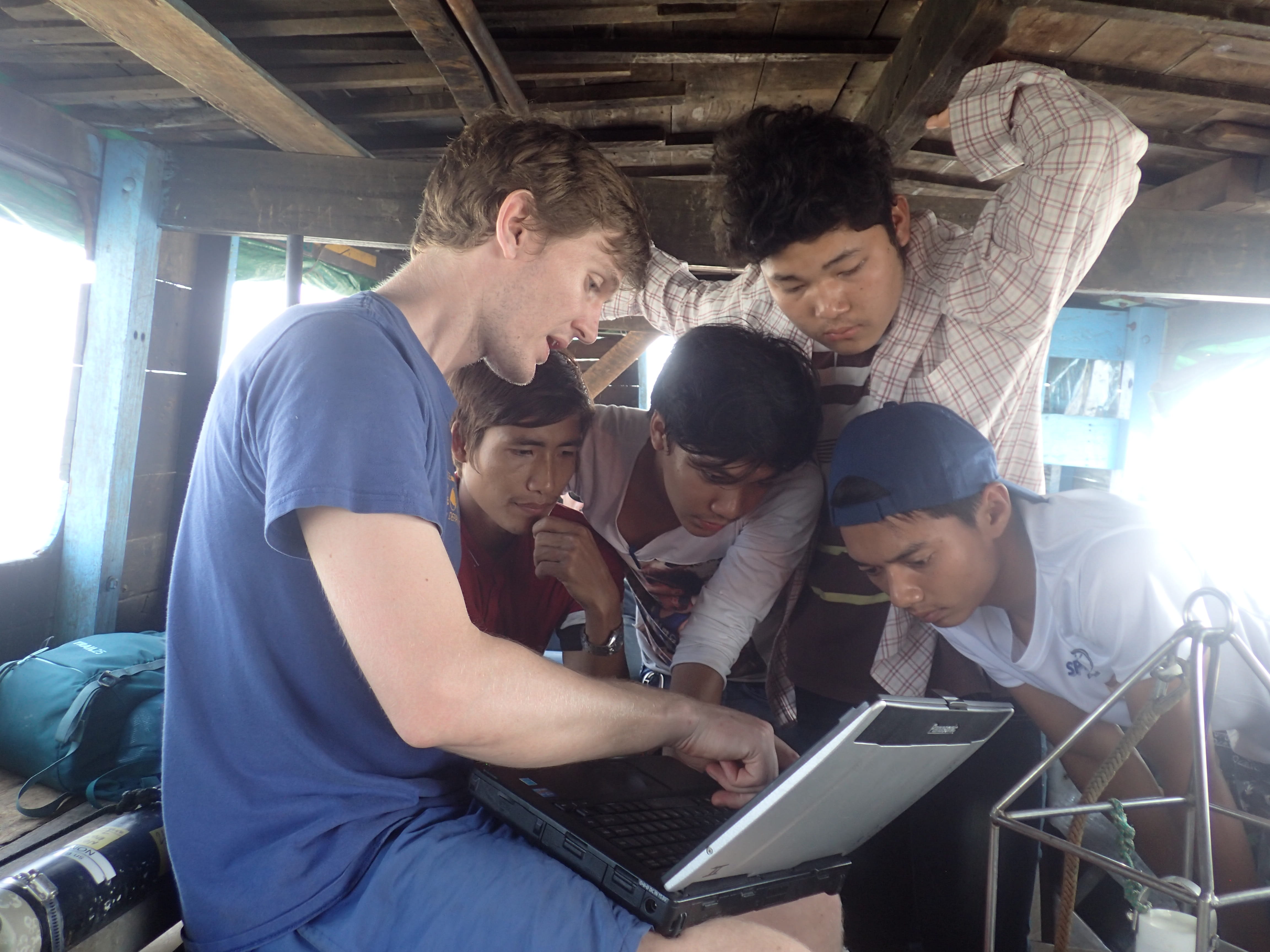
Aaron discusses CTD data collected in the Yangon River with Colleagues from Myanmar Maritime University.
An Aquadopp is deployed in a tidal channel on Meinmahla Island.
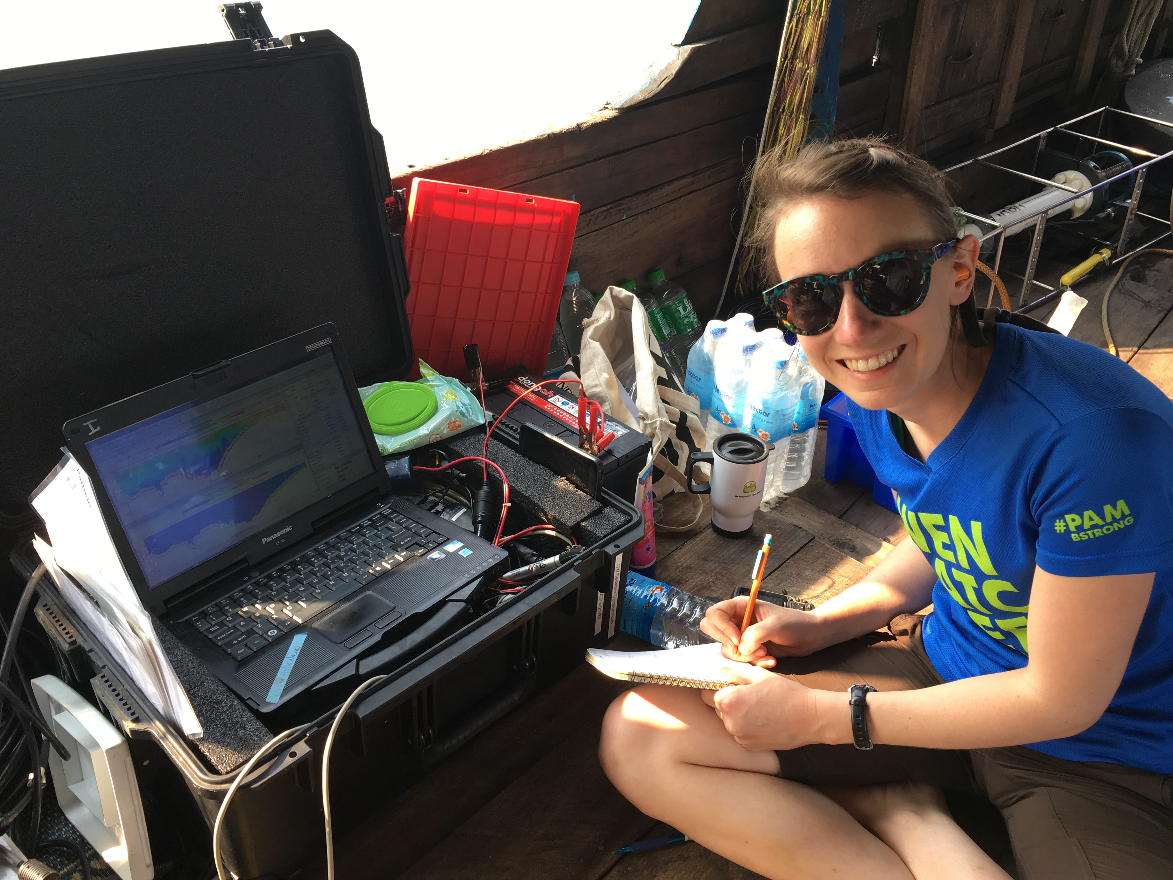
Hannah takes notes while logging ADCP data on the Bogale River.