October 9, 2024
Watching Hurricane Milton
Last updated 10:30 AM, Wednesday, October 9th, 2024
By Justin Sjodin, Eric Theumer, Ethan Knauss, and Amelia Gordon
Good morning Huskies!
We have a different tone of blog in store for you today, as Hurricane Milton prepares to strike the west coast of Florida this evening. We’d like to focus a blog on this topic, as Hurricane Milton is a historic storm that will affect the Tampa metropolitan area.

To start us off today, central Florida is already experiencing tornado outbreaks ahead of this massive storm, thanks to a combination of large amounts of lift and rotation (shear) as air goes up in the atmosphere. Multiple tornado reports have already come in through social media and NWS sources. This same shear is what’s causing hurricane Milton to lose part of its intensity as it nears the Florida coast. Shear is bad for hurricanes because it disrupts the deep convection around the core of the storm, preventing further intensification.
At landfall, this is still going to be a major hurricane with the potential to cause extensive damage. There is 10 – 15 feet of storm surge expected just south of Tampa, along with sustained wind speeds of 125 mph with gusts up to 155 mph. Over one million people have evacuated the flood-prone areas in the Tampa metro so far. The forecasted landfall is this evening around 3 AM EST, or midnight for us Seattleites if you plan on staying up and checking social media.

While the eye of Milton has disappeared since deintensifying to a category 4, the radar imagery as of 9:20 AM PST still shows that the core of high winds is very much present. Today, the hurricane has traded extremely high winds for a wider area of hurricane-force winds, which will only worsen the storm surge at landfall.
Also evident in radar imagery this morning are supercells located to the northeast of the center, causing the tornado outbreak we mentioned earlier across central Florida this morning and afternoon.

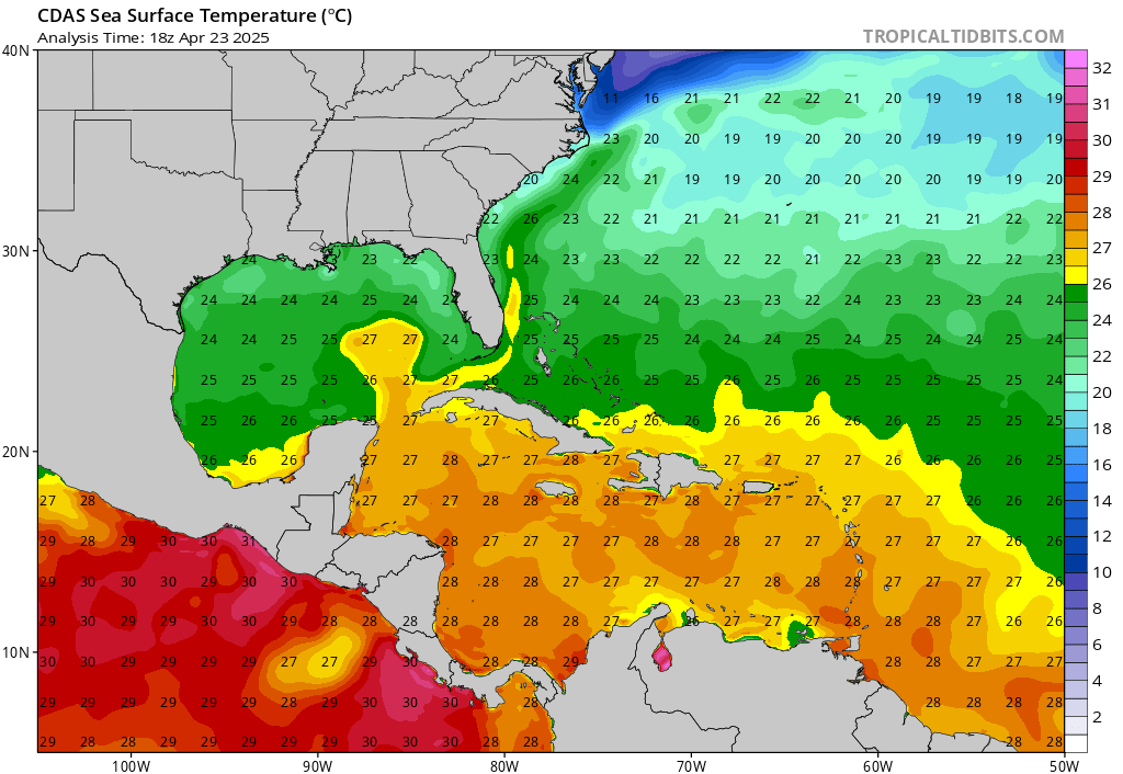
So, why did Hurricane Milton intensify into a category 5 storm in the first place, and so quickly? The main answer–extremely warm sea temperatures in the Gulf of Mexico and the Atlantic Ocean in general. Current sea surface temperatures are about one degree Celsius above historical averages for this time of year, among the warmest on record. Warm water is the fuel for hurricanes, providing the energy needed for tropical storms to grow through heat and moisture.
Our thoughts are with those who will be impacted by this storm, and who are still recovering from Hurricane Helene. Stay safe everybody!
Reach forecasters Justin Sjodin, Eric Theumer, Ethan Knauss, and Amelia Gordon at theuwdawgcast@uw.edu, on X/Twitter @TheUWDawgcast, or on Instagram @uwdawgcast.
