May 22, 2020
Forecast: May 22nd, 2020
By Dylan Logan
Hi, Huskies!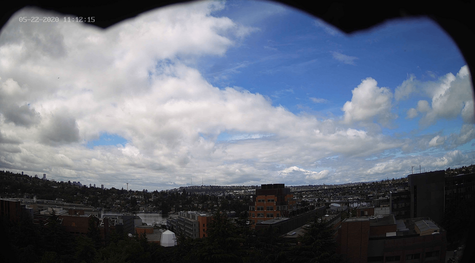
Hi, Huskies!
IT’S FRIDAY! And it’s chilly. And could be wet. But some blue sky is managing to make an appearance this morning! It could be a sign of what is to come. After today, we begin a slow transition to warmer and drier weather. There is the chance of some light rain and showers over the sound this afternoon and evening. Overcast conditions today eventually lead into mostly cloudy skies by the late evening. Today will consist of cool temperatures with highs near 60, while overnight low temperatures will get down into the upper 40s.
The weekend starts us off with some warmer temperatures with highs in the upper 60s. Saturday will be pleasant with partly sunny skies, but warmer temperatures will not deter the possibility of rain Sunday.
After what has been a relatively gloomy stretch of gray heavens and occasional rain, longer range models are hinting at a pleasant shift in the weather. It is possible we could be under a ridge by late next week. Even if that doesn’t come to fruition, more dry and sunny days are in the future
Hint that June is just around the corner! 🙂
Reach forecaster Dylan Logan at theuwdawgcast@uw.edu. Twitter: @DylanLogan33.
