The Sediment Dynamics Group recently returned from a short field mission to the lower reaches of the Columbia River, supporting UW scientists who are searching for and sampling two unknown strata that were emplaced during the fifteenth century. These sedimentary layers are being studied by a paleoseismology research group at UW who aim to piece together the character and precise timing of three geologic events: 1) the Bridge of the Gods dam breach, 2) the eruption of Mount St. Helens, and 3) the T2 subduction zone earthquake. The timing of these events relative to one another is very close, but scientists continue to grapple with the details of their potentially interrelated history, and advances in this realm could yield insights into how our landscape will rapidly change during the next subduction zone earthquake.
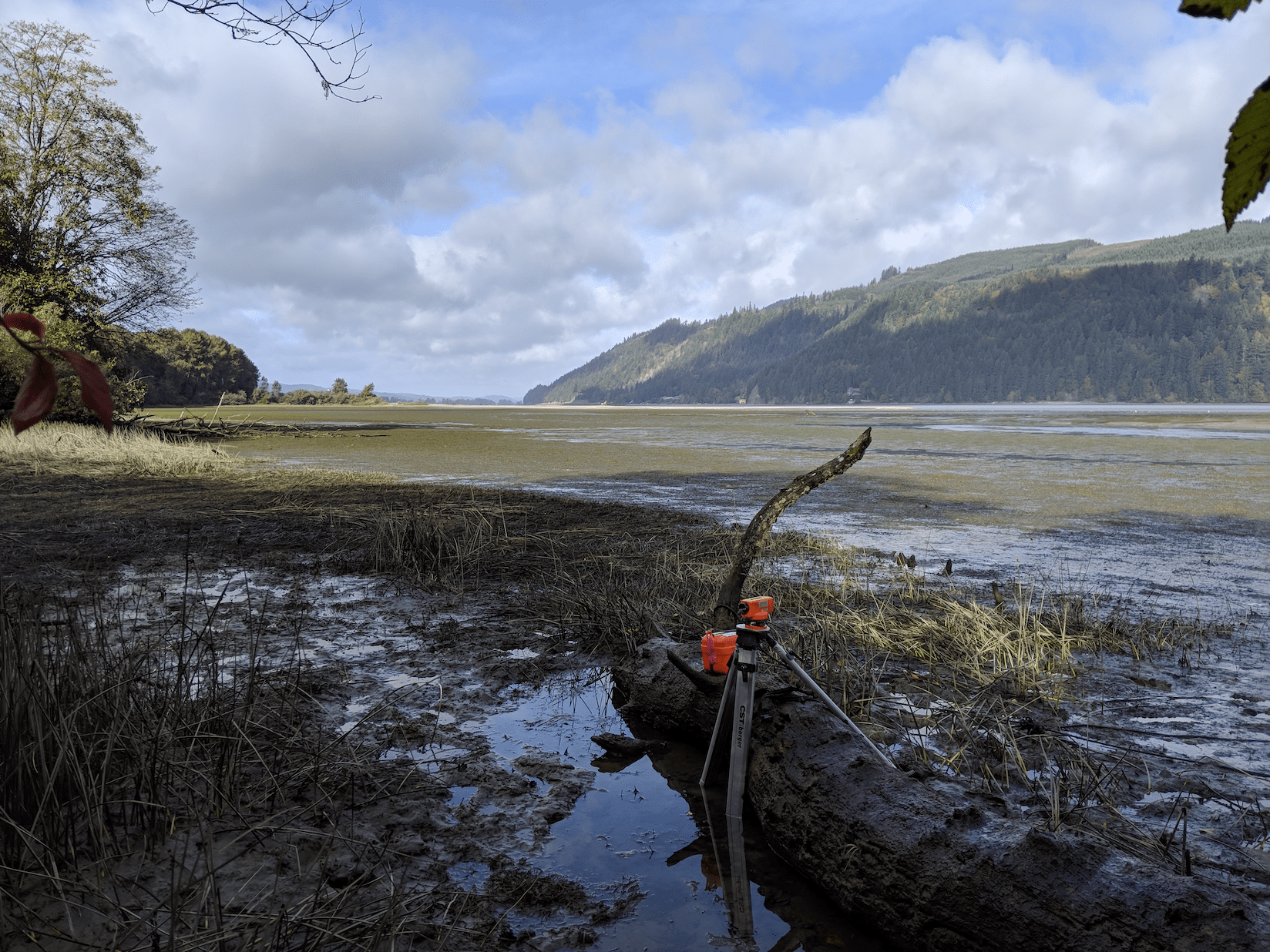
Surveying equipment on Wallace Island.
The two key stratigraphic layers in this study are 1) a coarse-silt floodplain deposit emplaced by a flood resulting from the Bridge of the Gods land-bridge failure, and 2) a tephra layer emplaced by a water-rafted debris from a volcanic eruption, likely Mount St. Helens. Field methods included outcrop interpretations (contact analysis, identification of cross-bedding, elevation, etc.), grain size analysis, core C14 geochronology, and core CT scanning. The extent of this deposit has been mapped for >30 km, from Clatskanie to beyond Svensen OR. The canoe is the vehicle of choice for this fieldwork, allowing easy access to the muddy river cutbanks which contain the event layers. This is also “one of those sites” where you’ll be caught in the rising tide if you don’t work quickly (see below)!
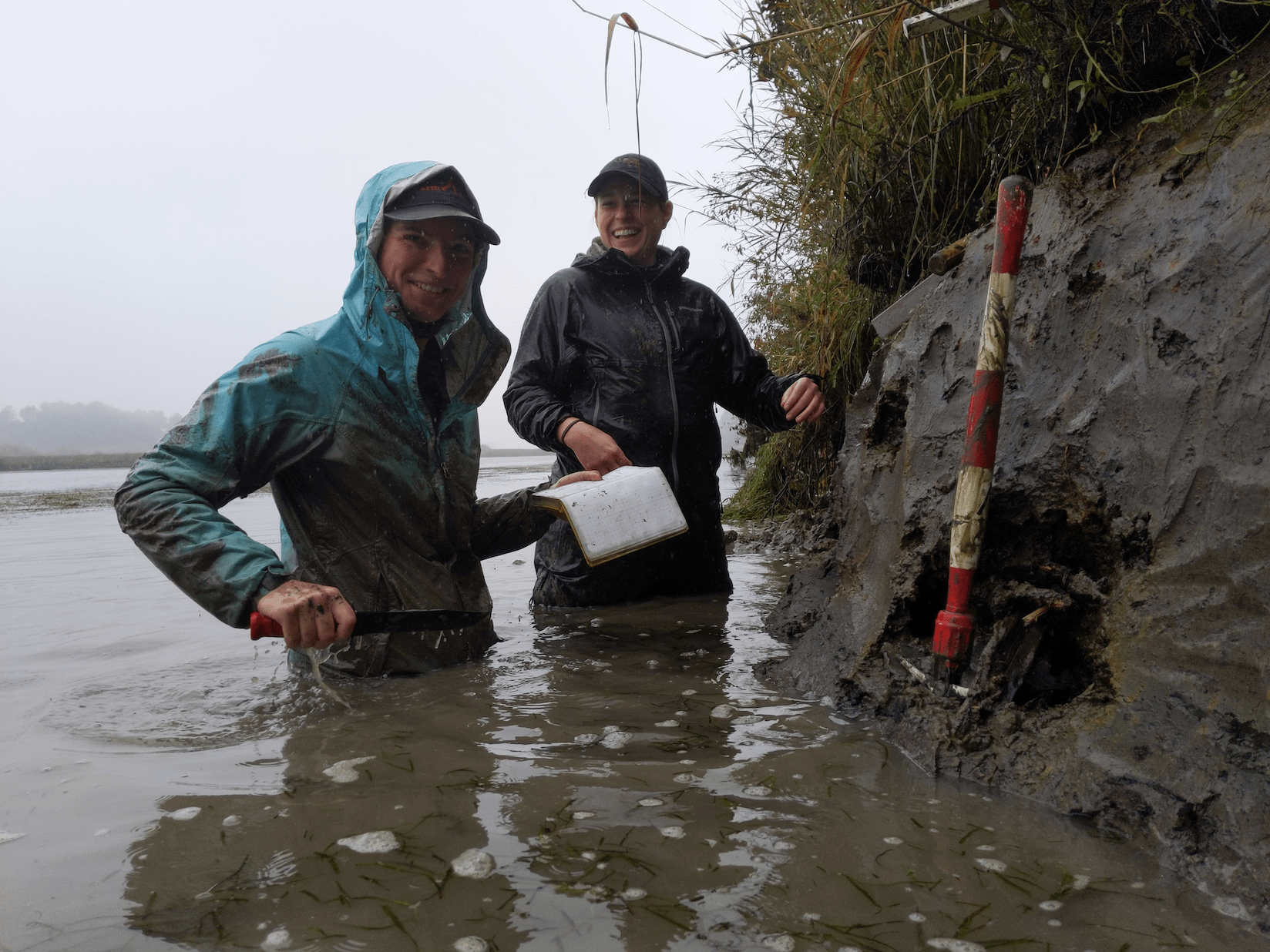
All smiles as the tide catches up with us. Only a few samples to go!