July 8, 2020
Forecast: July 8th, 2020
By Calen Randall
Hey Huskies,
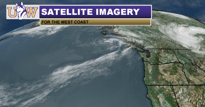
Sometimes a general weather pattern like a steadfast ridge of dry air or a series of soaking fronts dominates the forecast. This is not one of those weeks. No strong weather pattern has taken hold of the Pacific Northwest and the patterns are expected to flip-flop over the next couple days. On the satellite image below, you can see the incoming weak weather system, centered offshore of Vancouver Island.
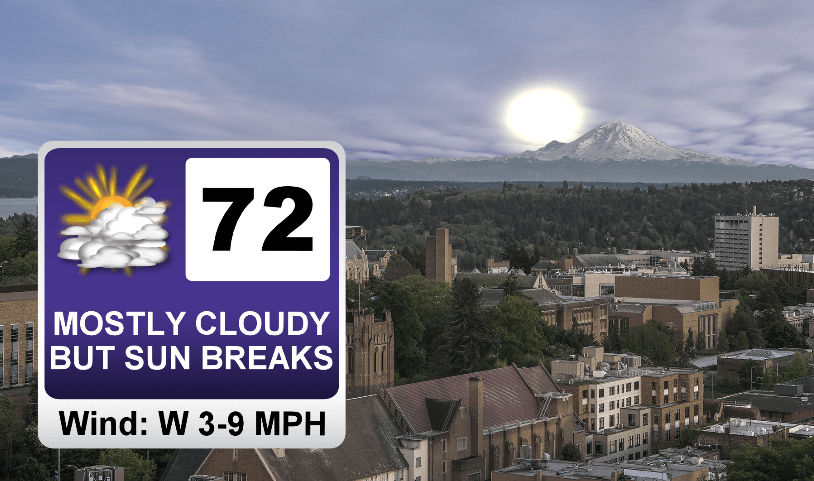
Today’s weather features a weak ridge, and temperatures warming to the low 70s. Skies will be mostly cloudy, but other than drizzle in some areas, rain will be absent. Tomorrow transitions to a weak trough. Showers and cooler temperatures in the upper 60s are expected so today is preferable for getting outside if you want to avoid getting wet.
On Friday, the weather swings back to dry and sunny. Highs in the mid to upper 70s are likely for the first half of the weekend, before we switch back to cooler temperatures in the upper 60s on Sunday. With so much variance in systems, weather that you enjoy is likely on the way, but you better get out to enjoy it before it is replaced with the next system!
Reach forecaster Calen Randall at theuwdawgcast@uw.edu. Twitter: @Wx19Calen.
| SATELLITE-RADAR | TODAY’S FORECAST |
|
|
