Category Archives: Blog – research

Research in the Caete Estuary

Offshore mud sources and mangrove development on the coast east of the Amazon River mouth

UFPA (Universidade Federal do Pará) and UW are collaborating on a project to study the tide-dominated estuaries and extensive mangrove plains east of the Amazon River mouth. In a recently submitted manuscript, we examined the Caeté estuary to understand how the longest mangrove belt in the world was built by rivers which don’t supply much mud to the coast. Instead, the Amazon river plume and its shelf deposits are the likely sources of mud to the Caeté and nearby estuaries.

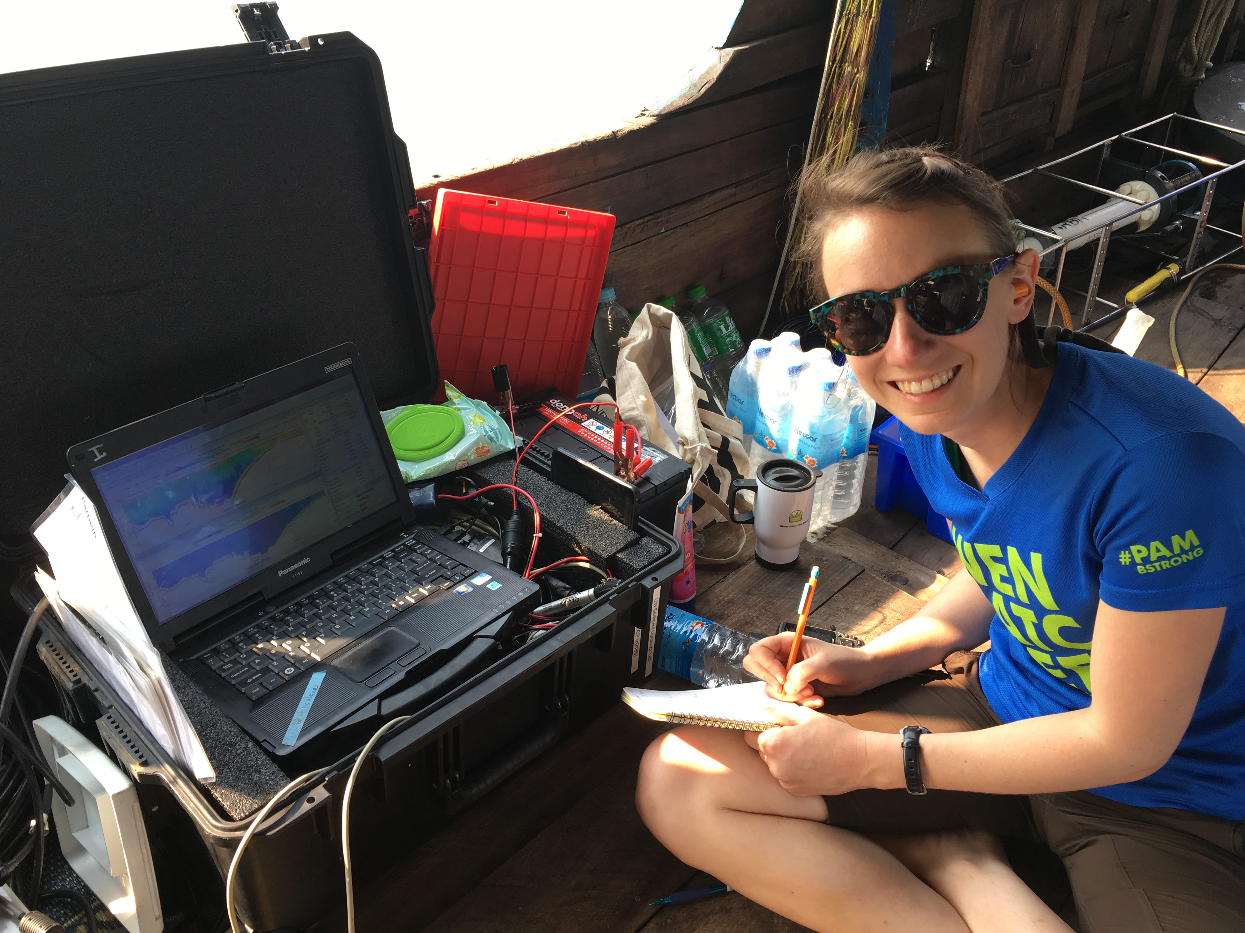
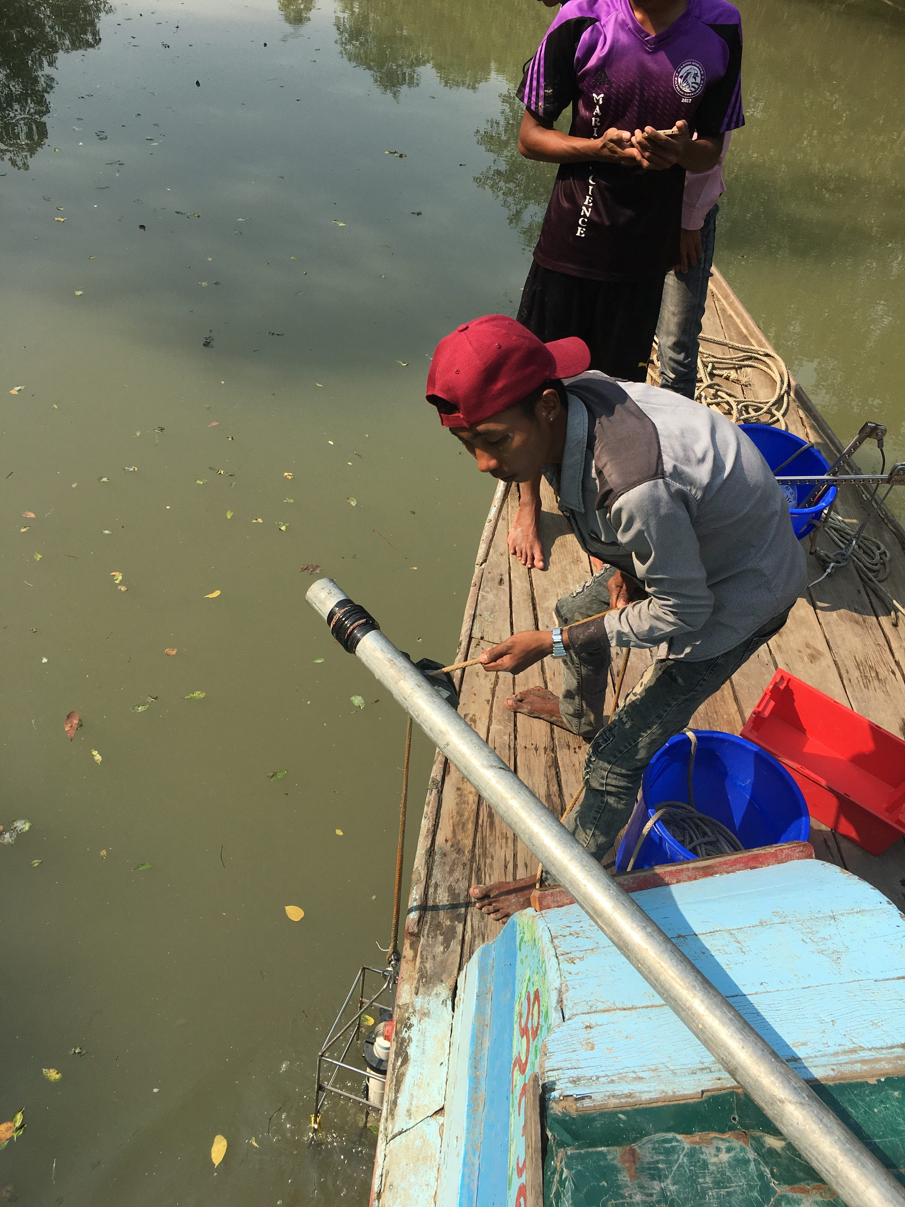
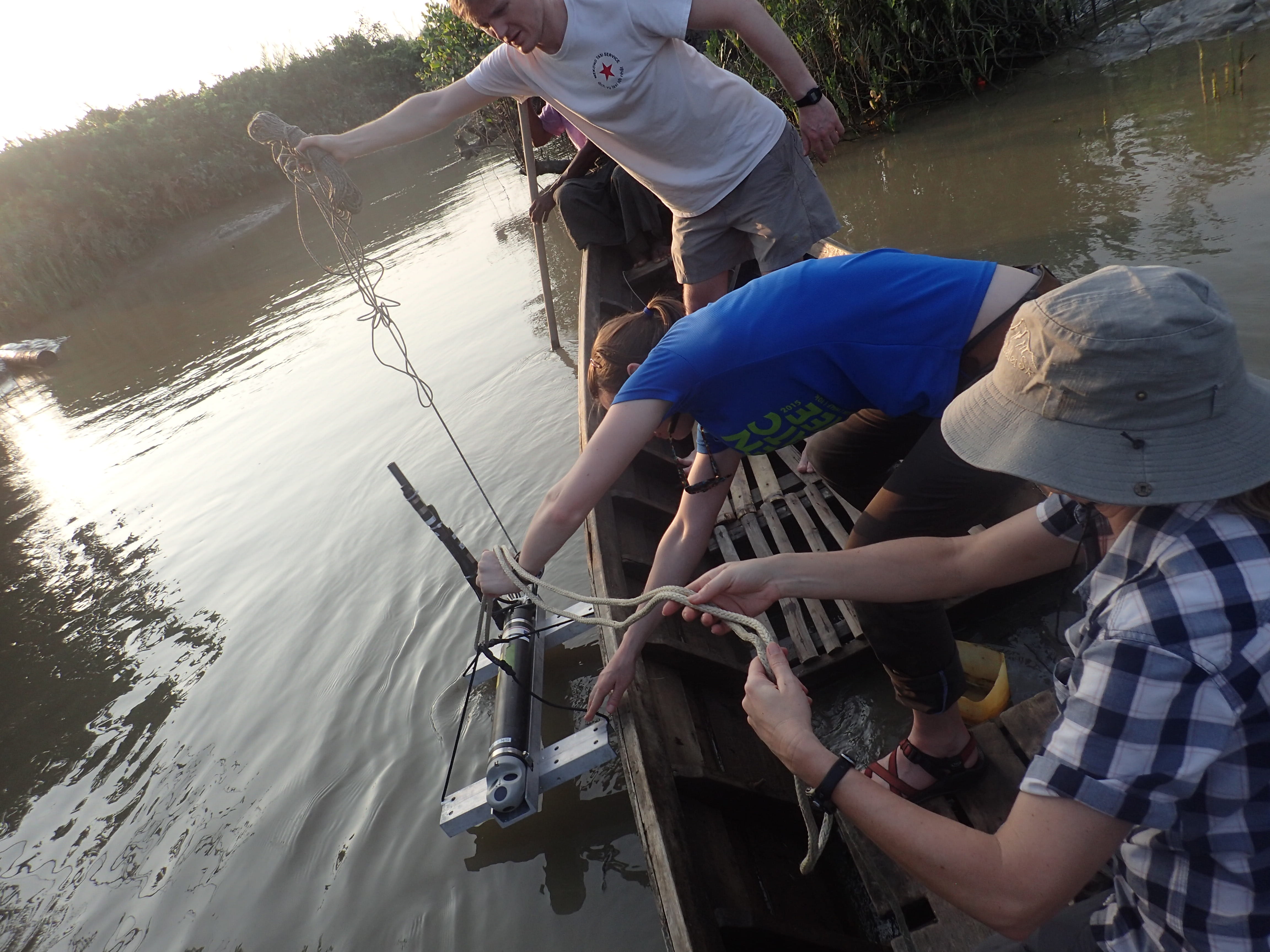
Nils deploying equipment in a mangrove forest in the Caeté estuary.

In the Caeté, complex dynamics in suspended sediment concentrations are related to superimposed variations in rainfall and local fluvial discharge (landward end) and seasonal dynamics of the shelf (seaward end). During the dry season and transitional periods, the estuary is importing mud from the shelf. Tidal processes result in sediment accretion on mangrove mud-flats. During the rainy season, rainfall-related runoff and fluvial discharge increase. Suspended sediment is transported to the lower estuary, where flooded barrier-island trap sediment in a newly-formed back-barrier environment. Our results reinforce the concept that sediment-transport convergence and turbidity maxima are distinctive features of tide-dominated estuaries, and these features result in sediment entrapment. For tropical coasts, sediment trapped by the ETM can be buried in adjacent mangrove forests. Our results may also show that local fluvial sediment sources are of secondary relevance compared to offshore sources.


Low Discharge Fieldwork on the Ayeyarwady Delta, Myanmar

Our lab has an ongoing research project examining tidal river hydro- and sediment dynamics in the Ayeyarwady (Irrawaddy) River delta of Myanmar (Burma).  The Ayeyarwady River is likely the third largest source of sediment to the global ocean after the Amazon and Ganges-Brahmaputra Rivers, but relatively little is known about this large river system compared to other rivers of its size.

A group of us (Andrea, Chuck, Hannah, and Aaron)  just returned from three weeks of fieldwork on three distributaries of the Ayeyarwady- the Yangon, Bogale, and Pathein Rivers.  This was the second of two initial field campaigns designed to capture the two dominant seasonal conditions in this monsoonal system.  Last September we undertook a similar field effort to capture high discharge of the river during the rainy season, which also coincides with more energetic marine conditions.  This most recent trip was timed to capture low-flow of the river and quiescent marine conditions.

Together with an enthusiastic group of scientists and students from two Myanmar universities (Pathein University and Myanmar Maritime University), we investigated river dynamics and water-column properties using a variety of Instrumentation (e.g., boat-mounted and fixed ADCPs, CTD casts) as well as river-bed properties (e.g., grain size, sediment-accumulation history) using grab samples, augers, and x-radiography.

Below are some photos from our time in the field highlighting some of the work we accomplished, challenges we faced, and fun we had!

Hannah takes notes while logging ADCP data on the Bogale River.

Aaron discusses CTD data collected in the Yangon River with Colleagues from Myanmar Maritime University.

The CTD comes back on deck.

An improvised towed ADCP platform on the Yangon River (thwarted by VERY high SSC).

A 6-m saltwater crocodile reminds us why we minimize the amount of time we spend in the water near Meinmahla Island.

Our research vessel on the Bogale River. Note the ADCP pole midship.

An Aquadopp is deployed in a tidal channel on Meinmahla Island.

Some of the colonial architecture in downtown Yangon.

Elwha River research enters a new phase!

The Sediment Dynamics Group is wrapping up its monitoring program at the Elwha River. During dam removal in 2011-2014 we monitored the transported sediment through the coastal area. For the past two years, we have deployed instruments on the seabed to monitor sediment transport and light availability. Now those instrument platforms are going into storage and the instruments are going to new projects. During instrument deployment cruises on the RV Barnes and the USGS owned Frontier. We collected sediment samples to track the progression of the new deposit in Fresh Water Bay.

Emily Eidam and Hannah Glover carrying a boxcore (Photo credit: Mark D. Stone).

We also collected water samples to look at the composition of suspended material. This sample processing is also wrapped up, and we’re entering a new phase of data analysis. The data will provide insights into how the dam removal impacted the habitat on the seabed. Light availability is especially important for kelp, which provide habitat for other organisms.  These results will be valuable for reducing environmental damage during other dam removal projects.

Ocean 492, Autumn 2016

This quarter, Andrea Ogston, Ian Miller, and Emily Eidam are working with nine undergraduate research apprentices at Friday Harbor Labs to study the effects of the Elwha River Restoration and dam removals on coastal sedimentary processes and habitats. This work is part of Ocean 492: Marine Sedimentary Processes Research Apprenticeship, a 15-credit class that provides students across majors and across universities an opportunity to learn hands-on research techniques, data processing tools, and writing skills.

_70a5398

We took advantage of a stormy day to watch waves at the outer Washington coast during the field week

f70a5252

Lauren and Mary work to refurbish light sensor systems on the deck of the R/V Barnes in October

This year’s apprentices are tackling a wide variety of projects ranging from light availability to wave processes to benthic and planktonic abundances. After an action-packed field week in mid-October on the R/V Barnes and a follow-up trip on the R/V Centennial, we have been busy processing samples and crunching numbers in the lab. Final presentations (and maybe a dock jump!) will take place in mid-December.

_70a5623

We visited former Lake Aldwell to wander through the remnants of last century’s forest and the saplings of the last five years’ recovery

dscn9101

Morning exploring at the Skagit Delta

If you’re interested in Ocean 492: Marine Sedimentary Processes, visit the FHL courses page or contact Andrea (see People page).

Taking advantage of this rainy winter at the Elwha

What a soggy winter in the northwest! The maps below were generated from the National Weather Service’s AHPS (Advanced Hydrologic Prediction Service). The first shows shows national rainfall totals for the past 60 days. More than 30-50” of rain have fallen in the the Olympics, which is above normal (see second map).

December 13, 2015 60-Day Observed Precipitation

December 13, 2015 60-Day Departure Precipitation

What does this mean for the Elwha River? Some pretty big flow events. Below is a graph generated from the USGS NWIS (National Water Information System) for station 12045500 at McDonald Bridge, 8.6 miles upriver of the coast. This shows the river hydrograph, or water discharge record, since Sept 14, 2011, the approximate start date of dam deconstruction. This winter’s events are the biggest since 2011 – note that the left axis is a log scale, making this year’s flows even more impressive. 

graph

When rainstorms bring these increases in river discharge, more sediment is exported from the former reservoirs. In response to this winter’s active storm season, we teamed up with Ian Miller at WA Sea Grant (see his Coast Nerd Gazette) and Dave Thoreson from UW Oceanography Tech Services to deploy a small instrument package offshore of the river mouth. We caught a break between storms on Dec 4, 2015 and launched the “mini tripod” in Freshwater Bay, complete with upward- and downward-looking acoustic doppler current profilers (ADCPs), a temperature/salinity/turbidity/wave sensor, an optical backscatter sensor (OBS), a light sensor, a “sedimeter” (32 OBSs on a stick), and a couple of sediment tube traps. Here’s a photo of the system ready for deployment from the R/V Wealander, with Dave at the helm and Ian helping the launch:

WealanderLaunchElwha4Dec2015

We also collected water-column profiles using a conductivity/temperature/depth (CTD) sensor with optical backscatter sensor (OBS), as well as a laser particle sizer (a LISST). With these measurements, we can look at the structure of the muddy, freshwater “plume” created by the river water flowing on top of the more saline ocean water. By analyzing the structure of this muddy, freshwater lens, we can better understand where the mud is going when it floats out to sea. Below, Ian prepares to deploy the LISST while Dave drives and Andrea collects water samples. The Wealander was a great platform for our rapid sampling!

IanMillerLISSTElwha

DaveAndrea4Dec2015

The instrument package will remain on the seabed and collect data every hour until we retrieve it in February…fingers crossed for another good weather window!

Mekong field work – fall 2014

Just a quick update from the field –

Week 1 of Mekong field work went well; after planning meetings, the channel group (UW + Tulane + VNU) started multibeam and water column surveys, the mangrove group (UW + U. of Waikato + WSU + Boston U + VNU) began instrument deployments, and the shelf group (UW + NSCU + IMGG) loaded the boat & departed from Saigon.

Saigon shopping

Aaron manning the small boat for an instrument deployment

Emily & Robin in the small boat in the channel

Andrea on the channel boat

The river boats, side-by-side for loading

Chuck and Dan work to deploy an instrument along the channel


Shelf boat

Saigon port seen from the shelf boat


Update from Saigon

Dan C. spent the end of August in Saigon organizing logistics for the September field work. The scientific equipment has arrived, and we are excited to start in the field in a couple weeks. Here’s a view of the Saigon River from downtown Saigon (Ho Chi Minh City), about 130 km northwest of our study site on the tidal Mekong River:

Saigon

CB1021 – another successful Elwha cruise! (Aug 2014)

August 17-21 saw the completion of another successful Elwha cruise. After an exciting (i.e. rainy!) March, the summer was relatively quiet in terms of river discharge. The primary goal of the cruise was to remove, refurbish, and re-deploy the primary seabed instrument system, which we did in record time (36 hours!) after an initial failure of one of the release mechanisms (thanks APL for loaning us a backup control unit!). Meanwhile, ship-based survey efforts focused on collecting grab samples from the Freshwater Bay deposit to track any changes in extent throughout the summer. On the final day of the cruise, we also recovered 6 box cores from Freshwater Bay, which will be x-rayed, analyzed for grain size, and measured for radioisotopes in the lab.

Many thanks to everyone who helped make this a successful cruise! Bob and Todd of the Barnes, Aaron, Dan N., Wenhua, Julia, and Brianna from our lab group, Maggie McKeon from UW Civil Engineering, Bethany Nagid from UCSC, and Jacob Melly from Peninsula College provided invaluable assistance and no shortage of positive, creative thinking. We also enjoyed hosting guests from UW Advancement and the Seattle community on the box coring & and re-deployment portion of the cruise, and appreciated the opportunity to share the exciting research happening at the Elwha.

Maggie attacks the 4-month-old algal growthTeam ShipekCleaned and ready to redeploy

Summer container packing

Dan Culling, Research Scientist joined the lab in March, and spent an intensive spring and summer coordinating field logistics for upcoming Mekong Delta field work. Together with Aaron and Emily, Dan organized and packed a 20’ container, which arrived in Ho Chi Minh City in late August. The field work, due to start in September, will focus on sediment-transport process and deposits in the tidal river, mangroves, and continental shelf. This work is an exciting collaboration between UW, Vietnam National University, VAST Institute of Marine Geology & Geophysics (Vietnam), NC State University, Washington State University, Tulane University, Boston University, University of Waikato (NZ), University of Miami, and UNSECO-IHE.Dan & Aaron packing Loading the container Ready to go

AMAZ5: report from Santarem

Members of the Sediment Dynamics Group are slowly arriving in Brazil for our fifth tidal Amazon River cruise. Yesterday along with our Brazilian collaborators we measured discharge at the town of Obidos, the farthest downstream gauging station on the Amazon. Today we will measure discharge on the Tapajos River, a major tributary that meets the Amazon at the city of Santarem. Tonight we meet the rest of our UW and Brazilian colleagues and continue our research farther downstream.