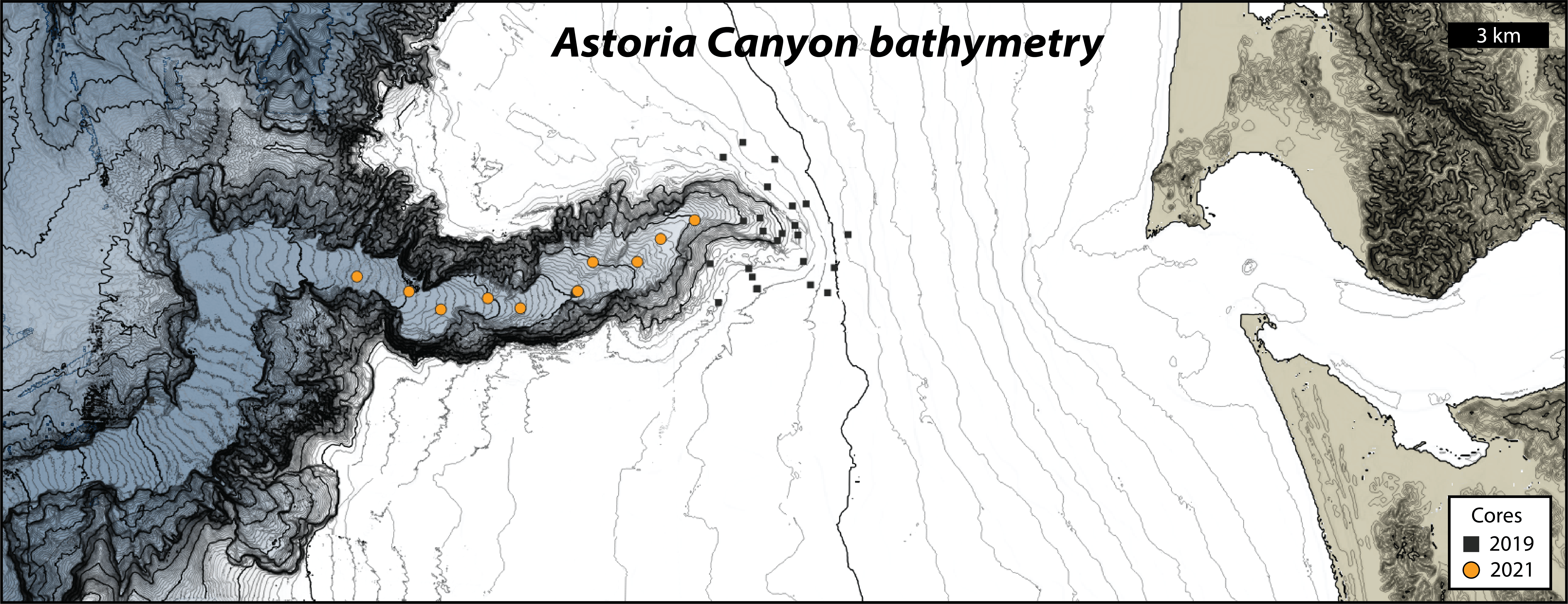
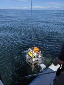
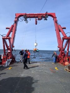
This May, the UW Sediment Dynamics Lab deployed a benthic tripod in the head of Astoria Canyon to measure canyon hydrodynamics and sediment flux. Over the summer, our tripod recorded minute-by-minute data, documenting the forces that move sediment through Astoria Canyon and into the deep water sediment record. This fall, it was time to recover our tripod from the seafloor. Andrea and Evan boarded the RV Rachel Carson, steamed out to the deployment site, and sent our tripod a signal to release its recovery float… After sleepless nights worrying about bottom-trawl fishing nets hauling away our tripod, we were relieved to discover it was intact and upright, just where we left it. Recovery went smoothly in low seas, and within the hour, our tripod was on deck. We spent a few hours cleaning sandy mud off its feet, scrubbing “biology” off of its sensors, and downloaded data from its instruments.
CERMIT the tripod, above water for the first time in four months.

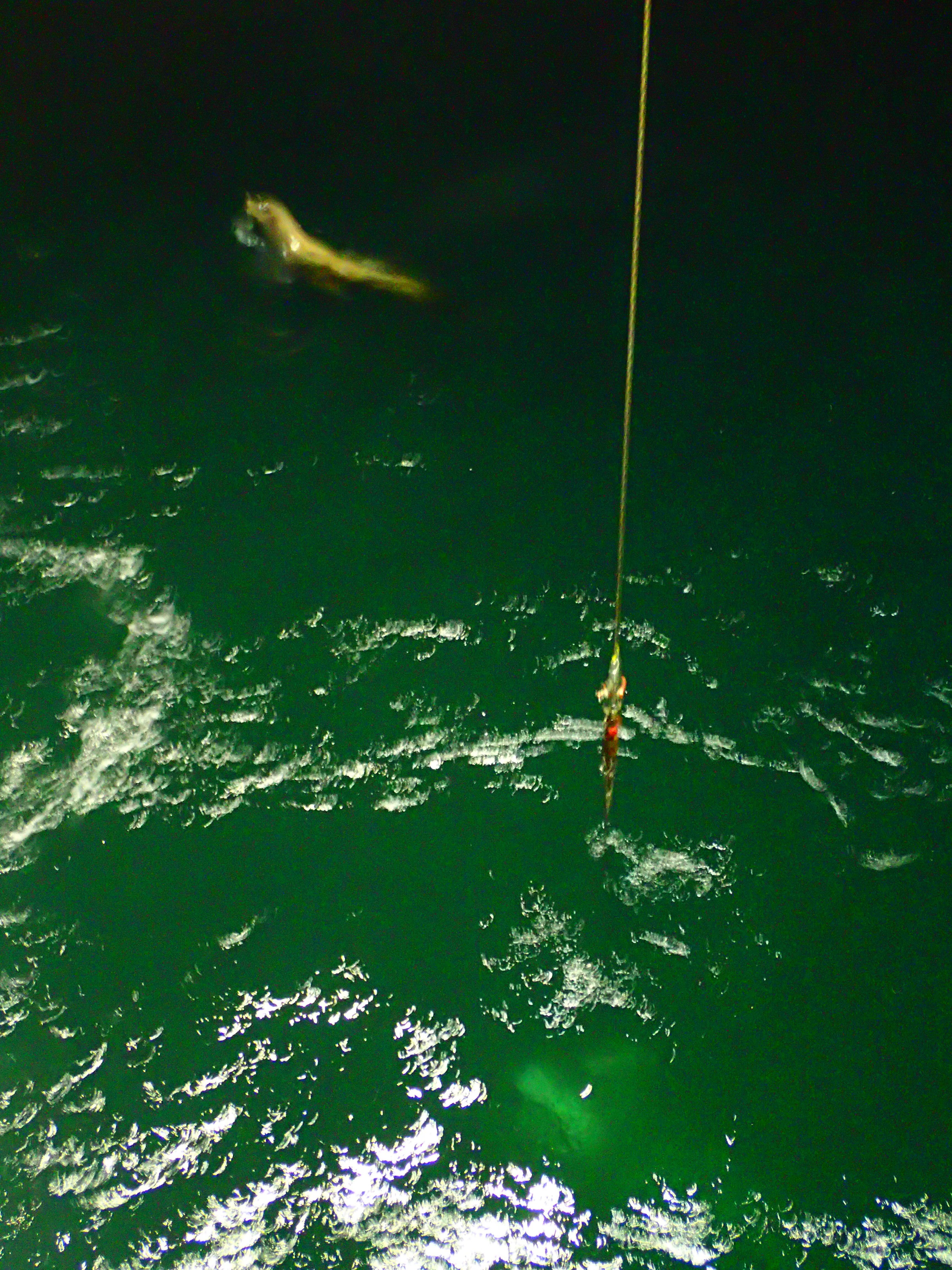
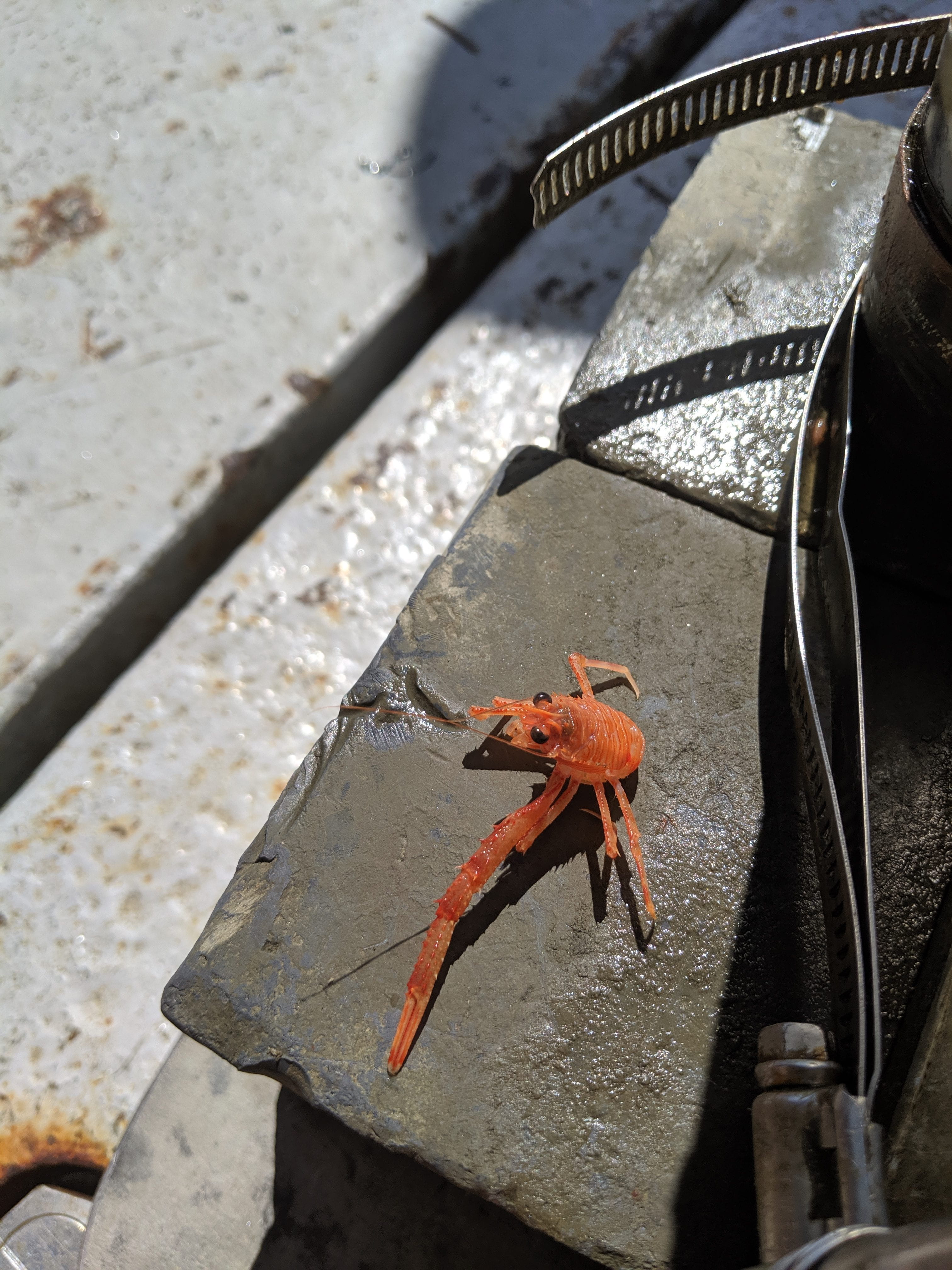
This little crab was recovered with our tripod.
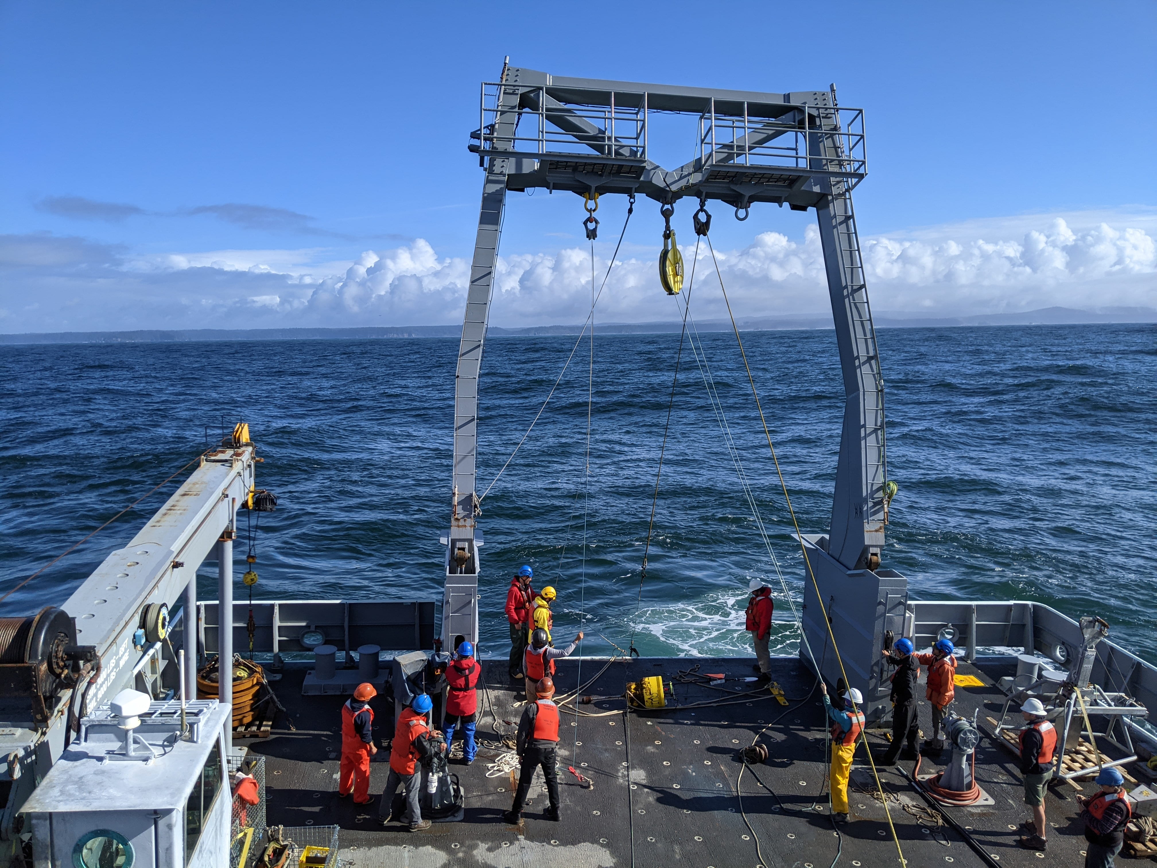
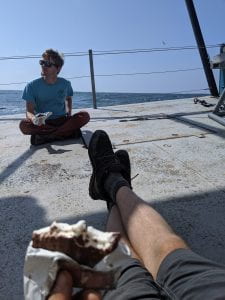
Although the tripod was safely on deck, our jobs were far from over–we had also set out to collect seismic profiles and sediment cores from the canyon! The USGS accompanied us aboard the RV Carson, and in collaboration with this project, they created a survey plan to map the geologic structure of Astoria canyon with seismic gear (CHIRP and multichannel). Together, the crew logged ten days of 24-hour seismic data collection, and through all that surveying, we managed to have some fun. We caught salmon and tuna, saw dozens of humpback and pilot whales, and had heated discussions over the best practices in coffee brewing. After returning to port, the USGS crew returned to Santa Cruz, reinforcements from UW’s Sed Lab arrived, and we boarded the vessel yet again for two final days of coring. Over this two day effort, the sediment lab collected 25 box cores in and around the canyon head and shelf rim, coring efficiently in spite of large swell and mechanical difficulties.

USGS scientists deploy the CHIRP seismic package behind the boat, where it will be towed for the next week. This unit contains both the seismic source and receiver.

Aaron takes in the sunrise while steaming out to the first coring station of the cruise.
All told, three datasets were successfully collected from Astoria Canyon, and this is a big step forward in understanding what phenomena drive sediment from the continental shelf to the deep ocean. We’re excited to begin sharing results!
Aaron enjoying the little things on the ride home.
 A successful cruise on the R/V Sikuliaq in early April, 2023, has kicked off our year-long experimental program exploring sediment gravity flows on the Cascadia Margin. We placed moorings and bottom boundary layer tripods in the upper canyon reaches of two systems: Astoria and Quinault. These two canyons have very different morphologies and relationships with their modern-day sediment supply, the Columbia River. With the instrumentation we are hoping to capture a range of sediment gravity flows over the year-long deployment. Seabed coring of the canyon thalwegs and surrounding continental shelf and slope give us clues as to triggering mechanisms, gravity-flow dynamics and seabed deposits resulting from these flows. UW Sediment Dynamics group participants: Andrea Ogston, Chief Scientist; Evan Lahr, Tripod Builder and Coring Op Lead; and Sarah Vollero, Coring Ops.
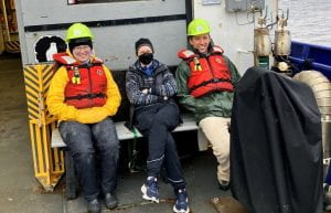 The project is being undertaken through a collaboration with the USGS Pacific Coastal and Marine Science Center (led by Dr. Jenna Hill and Kurt Rosenberger). In addition, we had the pleasure of being joined on the cruise by a UW Sediment Dynamics alumni, Dr. Emily Eidam, Oregon State University, and graduate students Adrian Heath (OSU) and Jonathan Moore (V Tech).