Tag Archives: Puget Sound

What’s Washed In

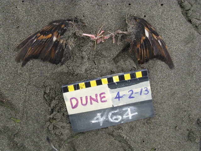
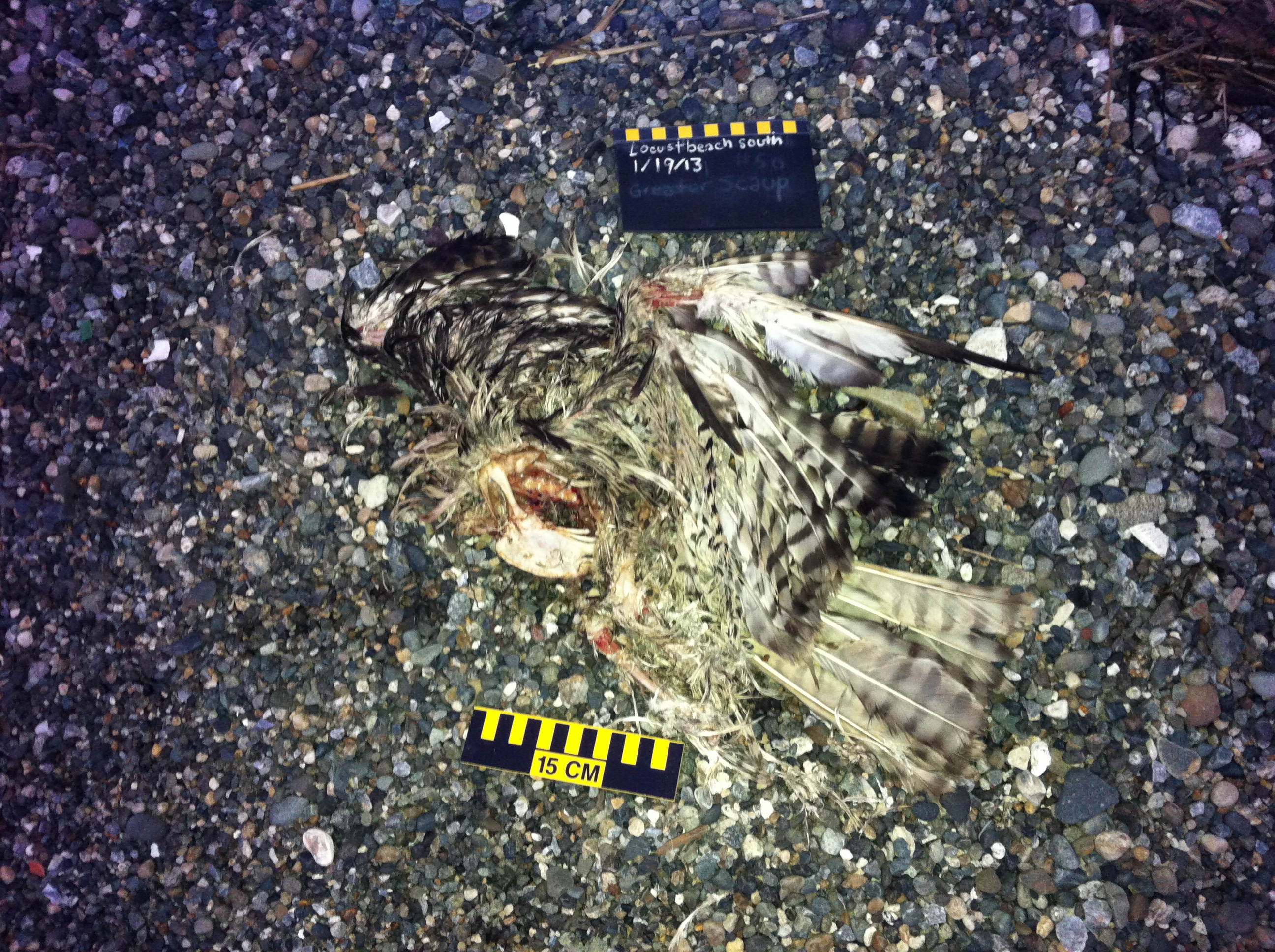
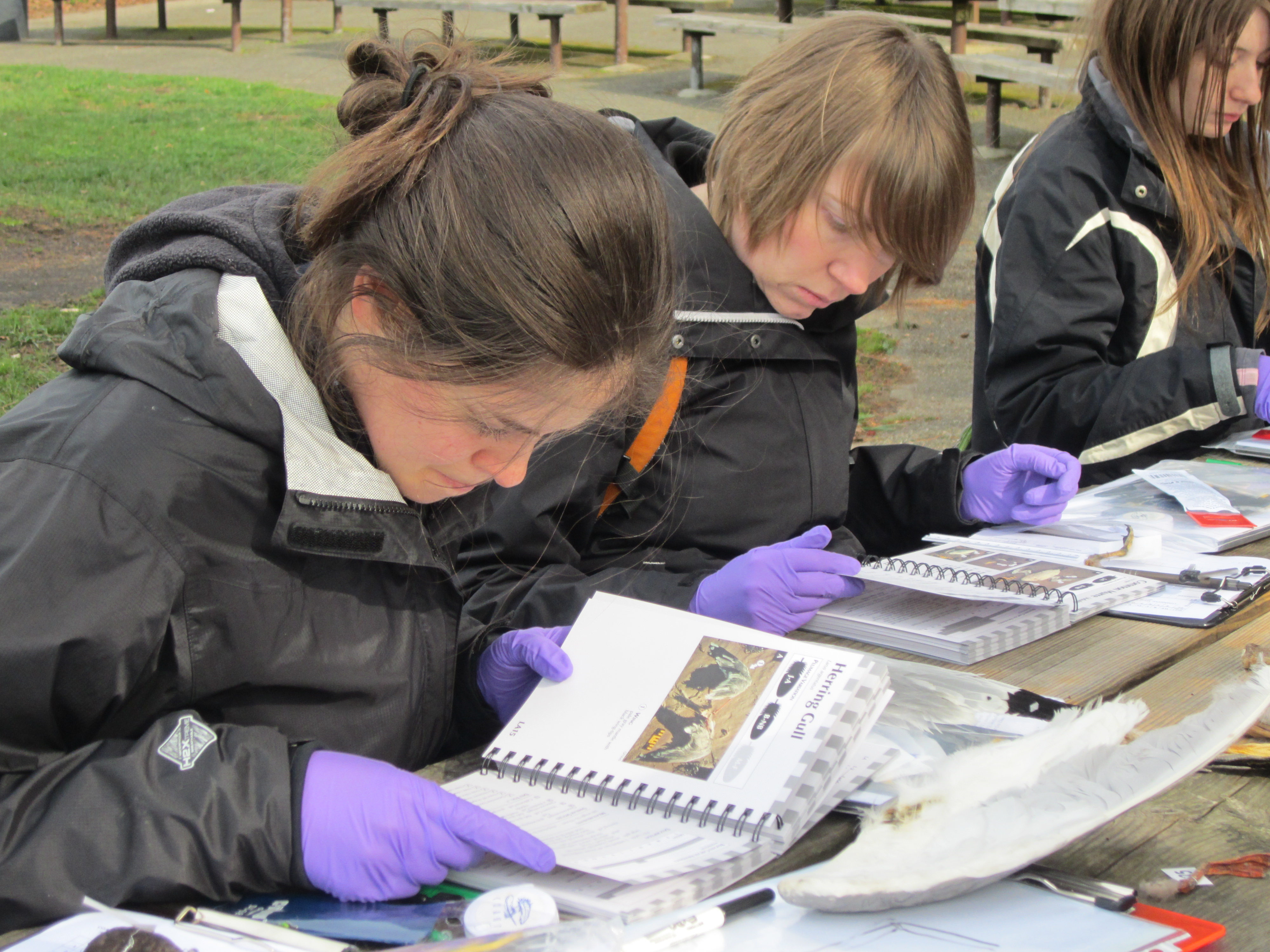
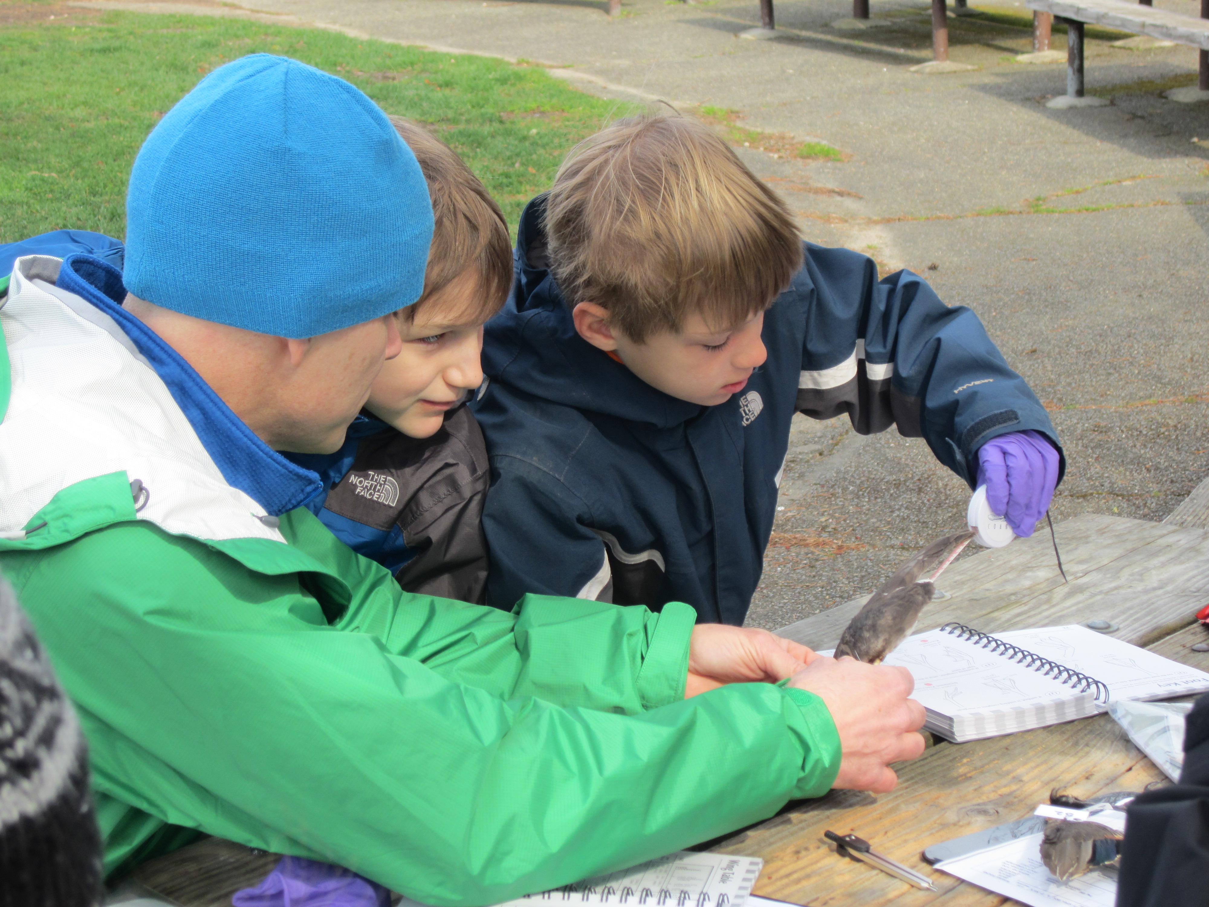
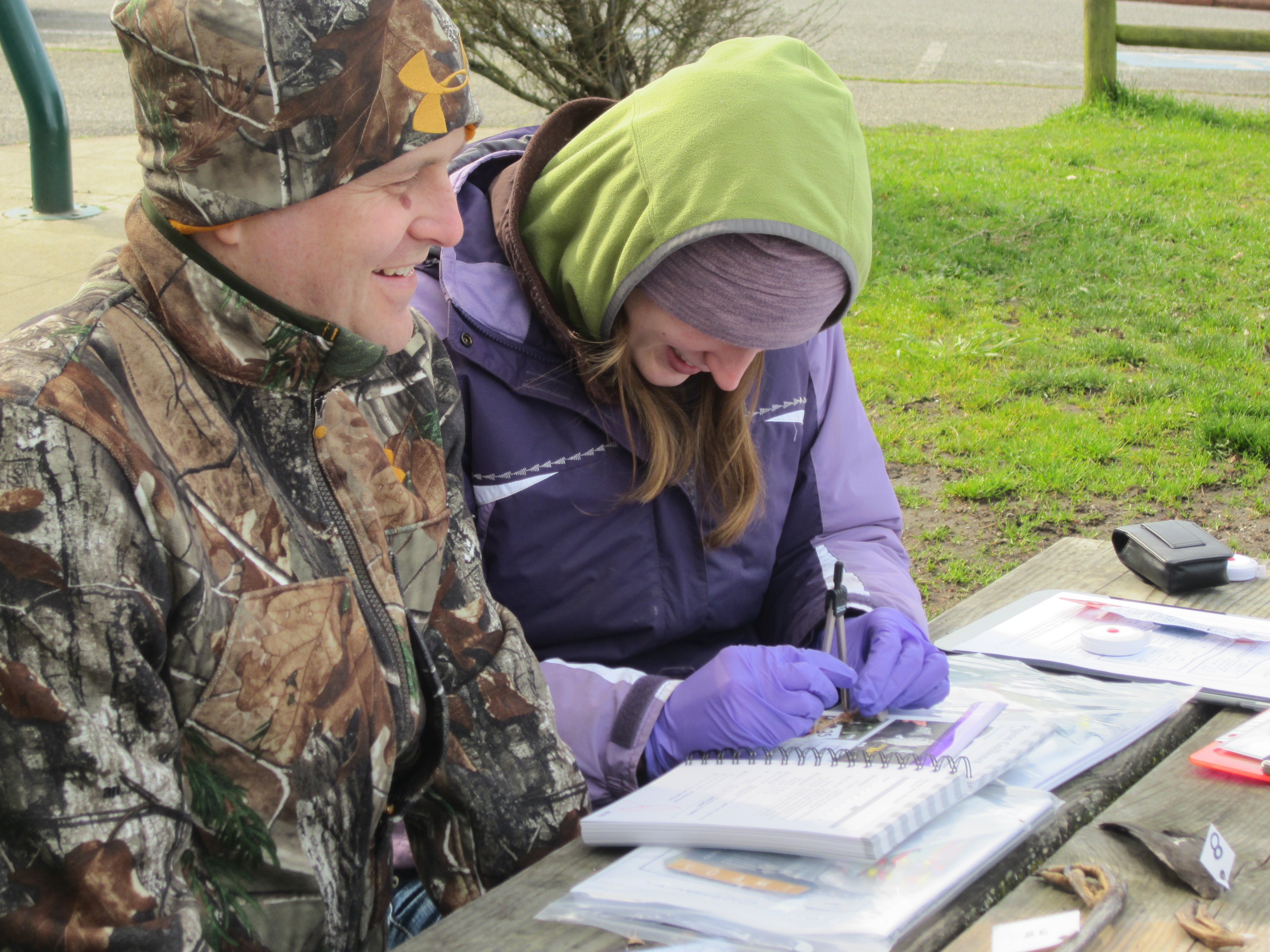
We have been seeing lots of interesting things being found out on the COASST beaches. Here are a few of the many photos that have been sent in recently:

image002

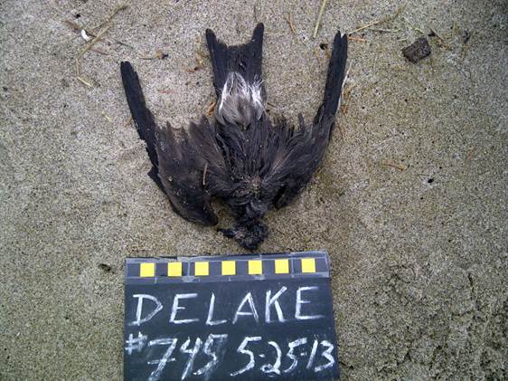
The tiniest of tubenoses, this is a Leach’s Storm-Petrel found in North Oregon. All dark upperwing and a small wing chord of less than 18cm puts us in the “tiny” category of the West Coast guide, and a similar spot in the Alaska guide, one shared with many of the small Alcids (e.g., Marbled Murrelet, Cassin’s Auklet). Underwing linings are not white (you’ll have to trust us on this point) so we’re left with Storm-Petrels. Of those, only the Leach’s has a white rump and dark brown (vs. light gray) plumage.

image003

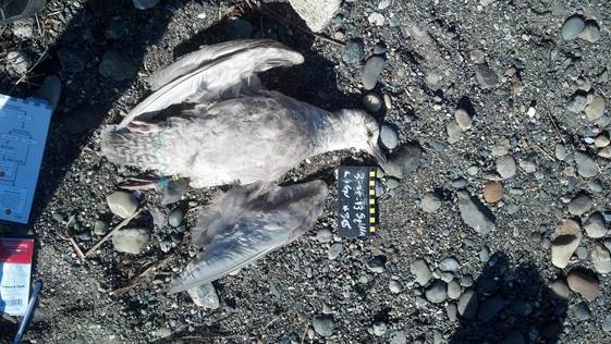
A Large Immature Gull entangled in blue filament (see left leg) found in the Puget Sound. Entangled birds make up about 0.5% of all birds found during COASST surveys in any year. Look carefully at that bill – dark and hooked, but no tube or separate bill plates, so it’s not a shearwater or a jaeger.

image004

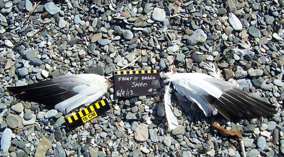
There’s only a few species with white in the upperwing and the secondary feathers – Ivory Gull, Glaucous Gull, Trumpeter Swan, Tundra Swan or Snow Goose. Dark primary feathers tell us this is a Snow Goose-light morph, found in the Chukchi Sea (it’s finally melting up there!)

image005

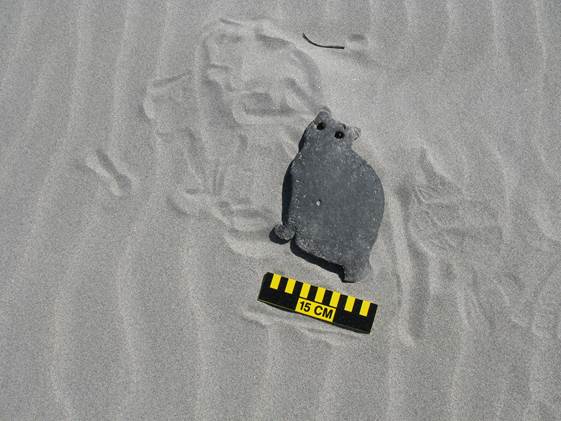
A rubber cat found on the South Coast of Washington – perhaps used as an under-pet-bowl placemat?

image006

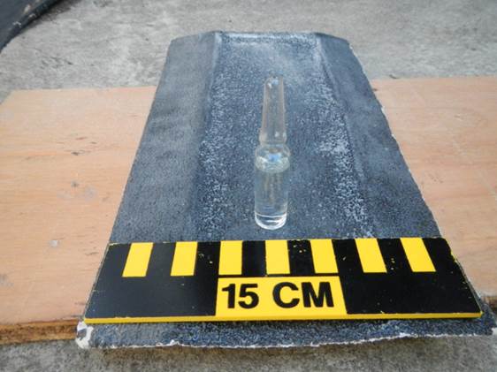
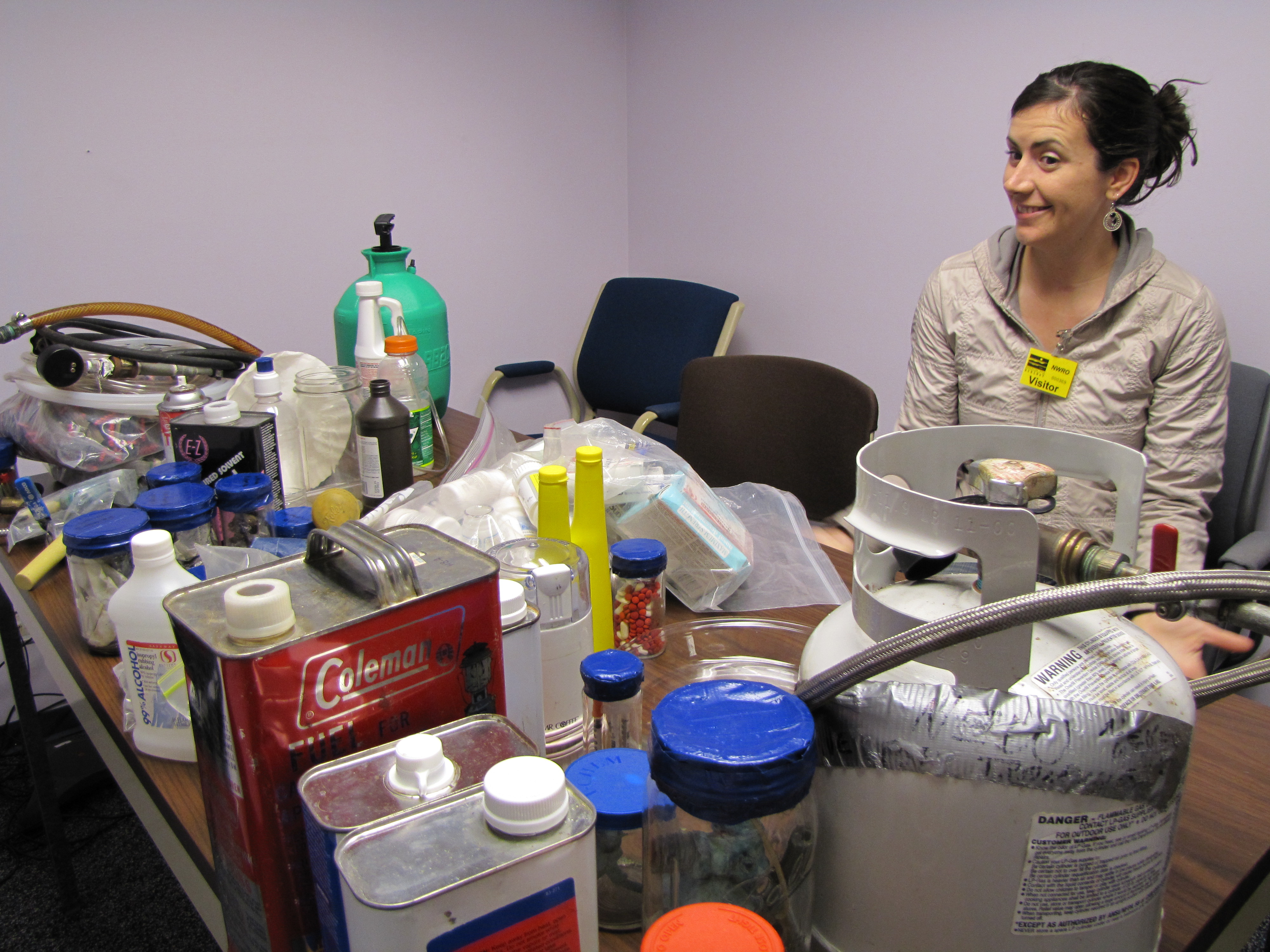
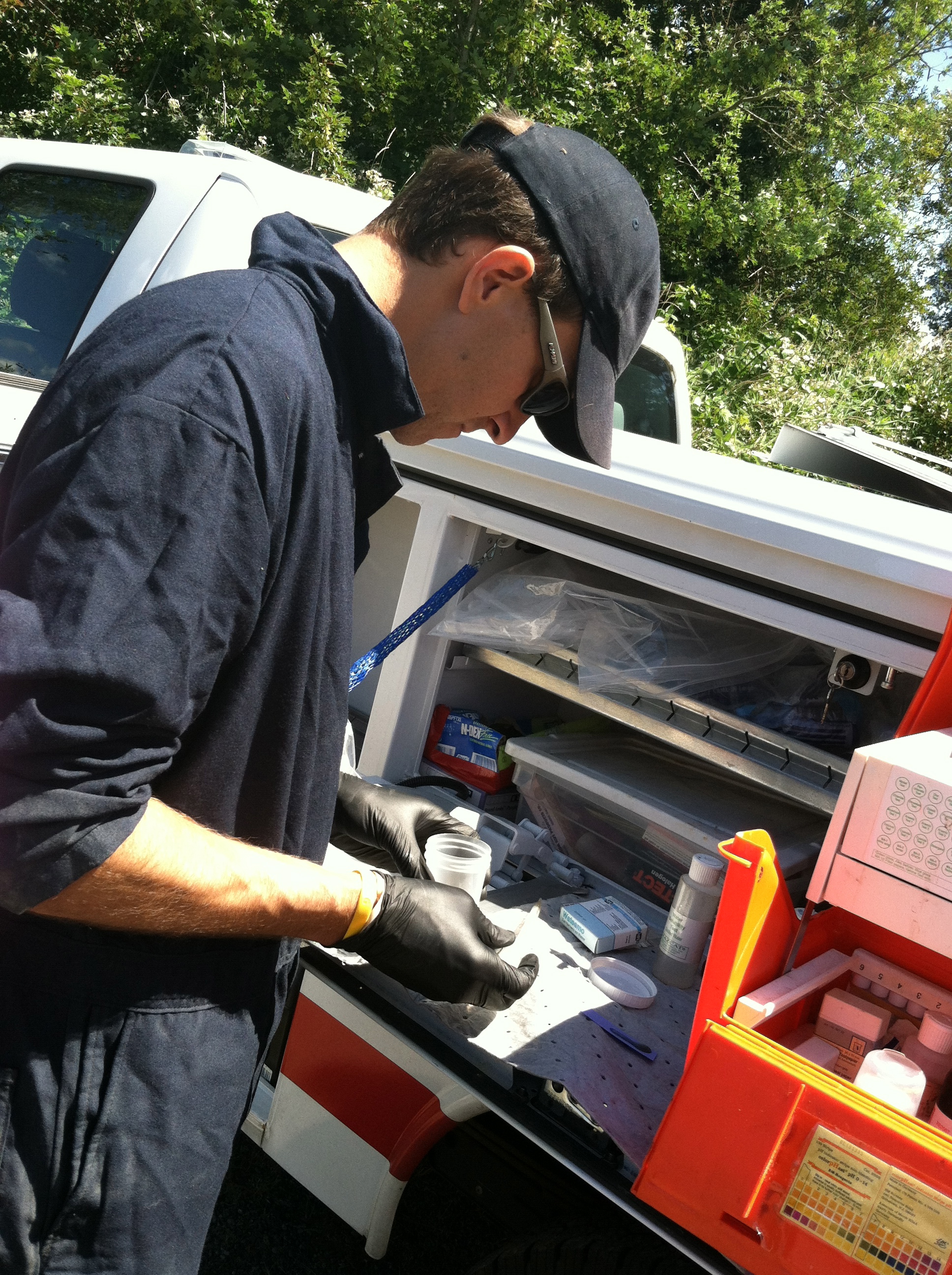
Finally, a glass ampoule (sealed vial) found on the South Coast of Washington. Modern ampoules are mostly used to contain injectable pharmaceuticals. The best way to dispose of an item like this and other medications is through a local pharmacy, or National Prescription Drug Take Back Day, or via the FDA’s suggested method.

You never know what you may find out on those beaches!

HAZWOPER Field Training Day 3

For the third and final day of HAZWOPER training, we started the day with Dick Walker himself, on a trip down memory lane. On the conference room table he’s laid out an odd assortment of glass bottles sealed with tape, wrappers, matches, connectors and tanks.  To most people it looks like a trash heap, but Dick and team used to do a lot of these types of HAZMAT clean-ups, several a week, in fact. Methamphetamine Labs.

Liz looks on at the table Dick has set.

Turns out a host of highly flammable solvents, gases, acids, bases and oxidizers are used in the process of making meth, and this kept the Department of Ecology folks busy (too busy) from about 1980-2000. “In houses, trailers, hotel rooms, they were everywhere,” recalls Dick, “sometimes were were still processing a scene and they would come back.” With cold medication behind the counter in the early 2000s, the meth cleanup has all but stopped.

Which means spill response and cleanup can focus on places like our next stop, Fisherman’s Terminal. After several days of reported sheens, no sheens today. We check out two abandoned vessels towed from the north, purged of fuel, and moored at the Terminal, “it’s a lot easier to deal with these before they sink,” notes Dave.

Liz and Chad check out the Des Moines Marina. “That’s just scum,” Chad assures us, “a natural collection point.”

On the way down south to check out a previous cleanup site, we turn around to respond to a diesel spill in Elliott Bay Marina. When we arrive, oil-absorbent boom and pads have already been deployed and have picked up some product (which appears on the material as a pinkish stain). “It’s all about a quick response,” advises Dave. If and when the next large-scale oil spill occurs, we’re now prepared to mount that quick response.

HAZWOPER Field Training Day 2

Back at it again, Liz and Jane take on Geographic Response Plans (GRPs) on day two of Hazardous Waste Operations and Emergency Response (HAZWOPER) on-the-job training with Laura and David, from Washington Department of Ecology’s Spill Response Team.

Where is the pipeline? Underground. These signs warn: no digging!

This time, we’re not heading out in the truck to investigate and incident/call/emergency, we’re laying the groundwork (paperwork, actually) in preparation for potential incident(s) involving waterways near the Olympic Pipeline. Owned by British Petroleum (BP), the Olympic Pipeline is the largest petroleum products pipeline in the Pacific Northwest which connects refineries in Skagit County to 23 terminals in Western Washington and Northern Oregon.

Our first stop – a wide stretch of the Sammamish. Wetlands toward the north, waterfowl. A boat is definitely required to deploy boom.

First stop: the Washington Department of Fish and Wildlife’s boat launch on the west end of the Sammamish River. Laura and David consult the current GRP – which natural resources are in the area? boat needed? staging area large enough for several vehicles and trailers? what speed is the river flowing? is boom requested – the floating oil absorbent pads used to direct and contain oil – adequate? are there access considerations? could private property nearby be affected? All of these considerations (and more!) are detailed at each site.

David and Laura weigh in on the Sammamish River site.

Like COASST beaches, no site is the same – some have steep banks covered in blackberries, some are known native steelhead habitat (Liz spots some dragonfly larvae under a rock here, at May Creek), some are under freeways, some in the middle of neighborhoods, surrounded by private land. At the end of the day we get to thinking about how COASSTers might be able to contribute to marine GRPs in the State’s effort to document beaches, access points, and natural resources along the coast and greater Puget Sound. Stay tuned!

No stream or beach is ever the same (left to right: May Creek, Coal Creek x 2)

HAZWOPER Field Training Day 1

This week, Liz and Jane are teaming up Horward Zorzi and Dick Walter’s Spill Response Team at the Department of Ecology – Northwest Regional Office for some on-the-job field experience to fulfill all requirements of their 40-hour Hazardous Waste Operations and Emergency Response (HAZWOPER) certification course.

No, it isn’t part of some new regulation to work with dead birds! This work is funded through a grant from the Washington Department of Fish and Wildlife, Department of Ecology, Department of Natural Resources and the Puget Sound Partnership to increase community preparedness and response during large oil spills in northern Puget Sound, the Strait of Juan de Fuca, and the San Juan Islands. Lots of COASSTers (about 200!) survey and live near these beaches. These are “their” beaches, and come fall, COASSTers will have a chance to receive some extra training (known as the 8-hour HAZWOPER) to assist state and federal agencies in spill response and damage assessment.

But back to the fun stuff. Tuesday we barely arrived at the office before an anonymous call came in about an abandoned barrel on Vashon Island marked “xylene.” Grabbing the proper protective equipment (steel-toed boots required!), we jumped into the response truck with Chad and Dave.

The Department of Ecology Spill Response Team official vehicle: protecting our freshwater and marine waterways.

After a short ferry ride, we arrived at the scene. The barrel is on private property, not the county/city road, so after a quick call to the regional office and then the property owner, we got clearance to proceed. Time to fill out a Hazard Assessment Worksheet (HAW)! Chad and Dave’s gameplan: suit up, test vapors – is barrel intact? If yes, right barrel, test substance inside.

MultiRae sensor does not detect vapors – barrel and cap are intact.

After the barrel is upright, Dave goes in with a huge wrench and a pipette, and brings back a viscous tawny-colored liquid. Pull out the mobile chemistry lab! Dave tests for the presence of oil (it’s mostly oil), water (a little), Ph (about 7), and reactivity (almost none).

Dave and the mobile chemistry lab (right, in the orange toolbox-like container).

The final test? Flamability. “It’s my favorite,” says Dave, priming and adjusting the propane torch, and holding the glass test tube just the right the distance away.

Flammability? Well, sort of…

The verdict? Not xylene. Not even close. Too viscous, not very flammable, and some black smoke appeared after a good amount of heat. “It’s cooking oil,” says Dave, “call the owners, let them know where to dispose of this, and let’s get those paint pens to re-mark this barrel.” Time to call the regional office again and let them know we’re safe and on our way back. Case closed for Chad, Dave, Liz and Jane.

COASST – It’s not just for Seabirds!

“Seabird” is a part of the COASST acronym and seabirds are the focus of our program, but from the very start volunteers have collected data on ALL dead birds found, not just the ones associated with the ocean.  COASST volunteers have thus far documented 156 dead-on-the-beach species from Humboldt County to the Chukchi Sea. About 30% of those are species that have no ties to the marine environment. So what gives? How does a landbird end up dead on a beach?

Sometimes, we know exactly how. We have raptors to thank for many of our out-of-place finds. COASST data verifier Charlie, watched this Peregrine Falcon (photo above) swooping on a Northern Flicker at Grayland Beach in Washington. He was curious to see if it would then show up on a survey. Sure enough, Laurie Lindeman and Bev Dage came through, finding the picked-clean wings 5 days later (photo below)!

Then there are some real puzzlers. Varied Thrushes are generally described as reclusive forest birds, but for some reason they show up more than we’d expect on COASST surveys. Compared to American Robins, by any measure a more numerous bird, Varied Thrushes (photo below) have been found 20 times, while robins only 6. The reason for this is a total mystery to us!

Life must be hard for raptors, and like any bird (think murres!) the first year of life presents special challenges. There is a real learning curve when it comes to pursuing active prey. Most of our raptor finds involve juvenile birds, like this Red-tailed Hawk (photo below) with the banded brown tail of a youngster.

Fin Whale Washes Up in Seahurst Park

Seabirds aren’t the only animals that wash up on the beach.  On Saturday, a fin whale washed ashore a Puget Sound COASST beach! The animal was found in Seahurst Park in Burien, Washington.  The carcass was torn in half and had red paint on it, suggesting that a ship struck the whale several days to a week ago.  It has drawn crowds to Seahurst Park, coming to get up close and personal with the second-largest animal in the world, despite the health risks and the stench.

Dead whale draws hundreds to the beach (Photo: Seattle Times, Greg Gilbert/Associated Press)

Aquaria, museums, and zoos will sometimes collect skeletons from beached whales for educational purposes, but this specimen is incomplete–only the first 52 feet of the 65-foot animal washed up on shore. No one has expressed interest in the remains, leaving the city of Burien with the challenge of disposing of the carcass.  The process is estimated to cost tens of thousands of dollars.

Fin whales can grow up to 75 feet and are the second largest whale after the blue whale.  A federally endangered species, fin whales are usually only found in the deep ocean. The only time these whales enter Puget Sound is on the bow of a ship.  This is the eighth fin whale carcass showing evidence of a ship strike to appear in Washington in the last ten years. Ship strikes are an emerging problem for large whale species up and down the West Coast.

More information can be found here.

Landslide narrowly misses COASST beach on Whidbey Island

Last Wednesday a large landslide took place on the western side of Whidbey Island (Washington State) near the Ledgewood community. Twenty properties were damaged during the event, but luckily no one was harmed. Smaller slides have happened in the area, but this one dropped enough earth to fill dozens of football stadiums, and even raised the beach about 9 meters (30 feet) above the earlier shoreline. The front of the slide is more than 304 meters (1,000 feet) long and extends some 91 meters (300 feet) into Puget Sound. Private beach surrounds the slide area. The COASST site, “Ledgewood Beach North” (in white) is just a few blocks away (slide shown in red):

Seattle Training Brings 14 New Volunteers to COASST

Lisa, Courtney, and Shayla hard at work

This past Saturday, 14 energetic recruits joined Liz at Carkeek Park in Seattle for an on-the-beach COASST training on a beautiful (yet very chilly) spring day. After an introduction to the program, the team reviewed the COASST survey protocol and completed their first survey (no beached birds to report!). Beached bird identification followed, with plenty of hands on practice using the COASST teaching collection. These guys were experts at beached bird ID in no time – a great group of volunteers!

Five participants joined as part of the Puget Sound Corps (PSC) a division of the Washington Conservation Corps AmeriCorps program. PSC members are generally recent high school or college graduates, or veterans who sign up to spend one year working with various state agencies (in this case, Washington Department of Natural Resources) participating in ecological monitoring programs and restoration work. PSC COASSTers will adopt several beaches in Washington’s Aquatic Reserves (Cypress Island, Murray Island, Nisqually Reach) – a great partnership for building a baseline at new and existing Puget Sound beaches.

Some of COASST’s youngest volunteers measure a wing

Dion and Rachel work to identify a foot